
Country United States ZIP codes 50441, 50605, 50625 Elevation 317 m Local time Sunday 11:35 PM | Time zone CST (UTC-6) GNIS feature ID 0468073 Area 94.04 km² Population 311 (2010) | |
 | ||
Weather -5°C, Wind E at 27 km/h, 96% Humidity | ||
Ingham Township is one of sixteen townships in Franklin County, Iowa, United States. As of the 2010 census, its population was 311 and it contained 145 housing units.
Contents
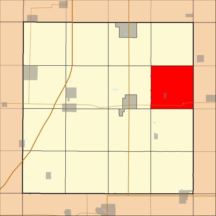
- Map of Ingham IA USA
- History
- Geography
- Cities towns villages
- Cemeteries
- Transportation
- School districts
- Political districts
- References
Map of Ingham, IA, USA
History
Ingham Township was organized in 1858. It was named for George H. Ingham, a pioneer settler and native of Ohio.
Geography
As of the 2010 census, Ingham Township covered an area of 36.31 square miles (94.0 km2); of this, 36.3 square miles (94 km2) (99.97 percent) was land and 0.01 square miles (0.026 km2) (0.03 percent) was water.
Cities, towns, villages
Cemeteries
The township contains Hansell Cemetery.
Transportation
School districts
Political districts
References
Ingham Township, Franklin County, Iowa Wikipedia(Text) CC BY-SA