
Population 857 (2001) Sovereign state United Kingdom Local time Monday 4:36 AM | OS grid reference SK947834 Post town LINCOLN Dialling code 01522 | |
 | ||
Weather 2°C, Wind W at 11 km/h, 100% Humidity | ||
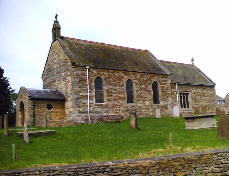
Ingham is a village and civil parish in the West Lindsey district of Lincolnshire, England.
Contents
Map of Ingham, UK
History
Ingham is written in the Domesday Book of 1086 as "Ingeham". Possible etymologies are "homestead or village of a man called Inga" or "home of the Inguiones" (an ancient Germanic tribe).
Geography
Ingham is situated 7 miles (11 km) geographically north from the centre of Lincoln, and on the B1398 road, which runs parallel to the main A15 (Ermine Street).
The parish boundary borders with Fillingham two field widths to the north. It follows the hedge line and a small drain eastwards to Middle Street (B1398), which it follows to the south for 110 yards (100 m), then follows the southern edge of Hare's Wood eastwards, north of Park Farm; the airfield is still there. This is the site of the former RAF Ingham. It follows the southern edge of a small wood at Ancholme Head (in Fillingham), the source of the River Ancholme just west of the A15. It meets West Firsby at the A15 (Ermine Street) which it follows to the south, and meets Spridlington.
North of the curve in the A15, it follows Ingham Lane to the west. It crosses Middle Street at Ingham Cliff, near Ingham Cliff Farm, where there is a weather radar station. To the north along the B1398 is the Windmill public house. The boundary follows the B1398 down Lincoln Cliff, over the crossroads along the road to where it crosses a small drain. It follows the drain northwards past Coates Gorse. To the west is Stow and the Vale of Trent (Trent Valley).
RAF Ingham
In the Second World War the village became home to RAF Ingham, a satellite airfield of the Royal Air Force base at Hemswell. Ingham consisted of three grass runways, and three Polish Squadrons (including No. 300 Polish Bomber Squadron) from 1st Polish Wing were based here, joined later by No. 199 Squadron RAF. In 1944 it was renamed RAF Cammeringham. The station effectively became unusable by 1945 as the short grass runways had deteriorated. After the war, demobilised Polish aircrew lived here.
Economy
North-east of the village, on opposite sides of the B1398, is the distribution centre of an outdoor toy manufacturer on the former airfield, and Lincolnshire Rescue Kennels.
Village public houses are the Black Horse and the Inn on the Green.