
Area 63.4 km² | ||
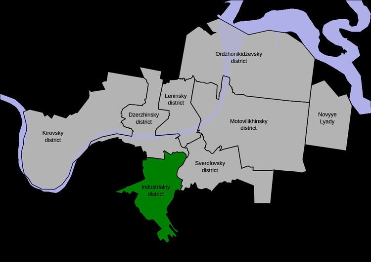 | ||
Industrialny City District (Russian: Индустриа́льный райо́н) is one of the seven city districts of Perm. Population: 157,575 (2010 Census); 160,039 (2002 Census); 174,503 (1989 Census).
Contents
- Map of Industrialny City District Perm Permskiy Kray Russia
- History
- Geography
- Largest streets
- References
Map of Industrialny City District, Perm, Permskiy Kray, Russia
History
Industrialny City District is the most recently established district of the city. It was established on March 31, 1972, when it was split from Dzerzhinsky City District.
Geography
The city district is situated completely in the left-bank part of Perm and does not touch the Kama River. The Mulyanka River flows through it. A part of the district is occupied by Chernyayevsky Forest.
Largest streets
References
Industrialny City District, Perm Wikipedia(Text) CC BY-SA