 | ||
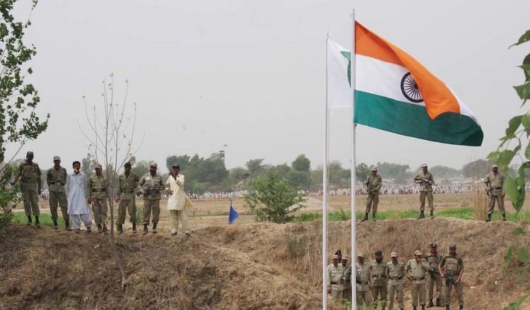
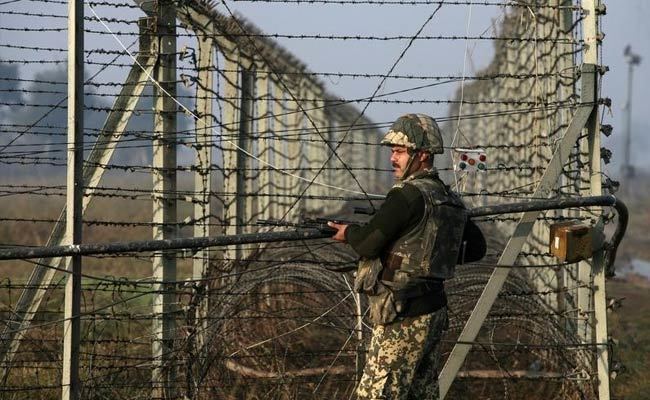
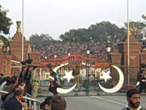
The India and Pakistan Border, known locally as the International Border (IB), is an international border running between India and Pakistan that demarcates the Indian states and the four provinces of Pakistan. The border runs from the Line of Control (LoC), which separates the Indian controlled Kashmir from Pakistan controlled Kashmir, in the north, to Wagah, which partitioned the Indian Punjab state and Punjab Province of Pakistan, in the east. The Zero Point separates the Indian states of Gujarat and Rajasthan to Sindh province of Pakistan, in the south.

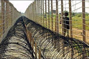
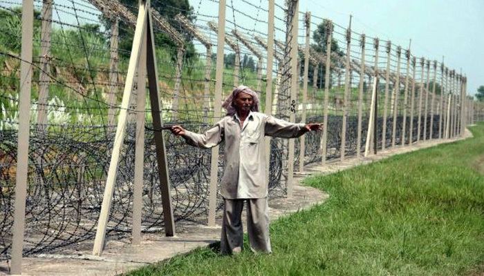
Drafted and created based upon the Radcliffe line in 1947, the border, which separates Pakistan and India from each other, traverses a variety of terrains ranging from major urban areas to inhospitable deserts. From the Arabian sea, the naval border follows the course of Manora Island of Pakistan to the course of the Mumbai Harbour, in the South east. Since independence of India and Pakistan ( see British India ), the border has been a site of numerous conflicts and wars between each country, and is one of the most complex borders in the world. The border's total length is 1,800 mi (2,900 km), according to the figures given by the PBS; it is also one of the most dangerous borders in the world, based on an article written in the Foreign Policy in 2011. It can be seen from space at night due to the 150,000 flood lights installed by India on about 50 thousand poles.
Working Boundary, Line of Control, and International Boundary
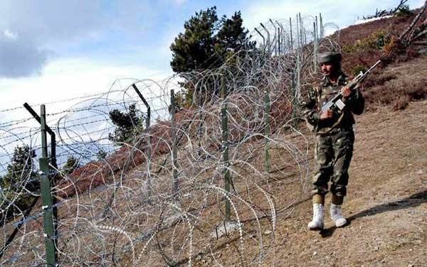
The border between the two Nations is an internationally recognised frontier from Gujarat/Sindh only with exemption to the Line of Control that is not internationally accepted. The Kashmir disputed region is divided by the 1949 UN ceasefire line, established after the Indo-Pakistani War of 1947, into two main parts and the de facto demarcation dividing Pakistan-administered Kashmir from Indian-administered Kashmir has been called the Line of Control since 1972.
Between Pakistan and India lies the Indian state of Jammu and Kashmir. On the other side where the internal borders of the Pakistan's Punjab provincial border, is officially called the Working Boundary by Pakistan (which is a recent term) and international border by the Government of India.
- LOC: Line of control is the boundary between the Pakistani Azad Kashmir and Indian Jammu and Kashmir. It was demarcated after the Simla pact in 1972.
- International boundary: The demarcated line between the Republic of India and Pakistan recognised internationally. Sir Cyril Radcliffe Demarcated the land in 1947.