
Country United States GNIS feature ID 0468064 Local time Saturday 6:34 PM | FIPS code 19-92016 Elevation 299 m Population 248 (2010) | |
 | ||
Weather -2°C, Wind N at 10 km/h, 38% Humidity Area 92.54 km² (72.78 km² Land / 19.79 km² Water) | ||
Independence Township is one of eighteen townships in Appanoose County, Iowa, United States. As of the 2010 census, its population was 248.
Contents
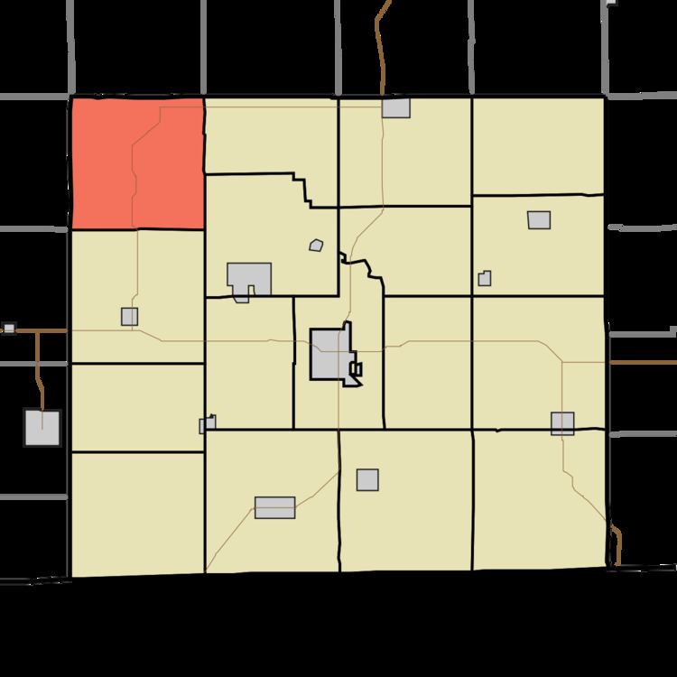
Map of Independence, IA, USA
History
Independence Township was founded in 1848.
In 1857 William Chadwick, Appanoose County justice of peace, plotted the village of Milledgeville along the east bank of the Chariton River.
North Bend Church and the Chariton River Church are in Independence Township.
Geography
Independence Township covers an area of 35.73 square miles (92.54 km2) and contains no incorporated settlements. According to the USGS, it contains six cemeteries: Brushy, Charitan River, Cozad, Johnson, Milledgeville and Wadlington.
References
Independence Township, Appanoose County, Iowa Wikipedia(Text) CC BY-SA