Area 177.9 km² | Time zone EET (UTC+2) Local time Sunday 4:37 AM | |
 | ||
Component villages Independența, Fântâna Mare, Movila Verde, Olteni, Tufani Weather 4°C, Wind NW at 19 km/h, 90% Humidity | ||
Independența is a commune in Constanța County, Romania. It includes five villages:
Contents
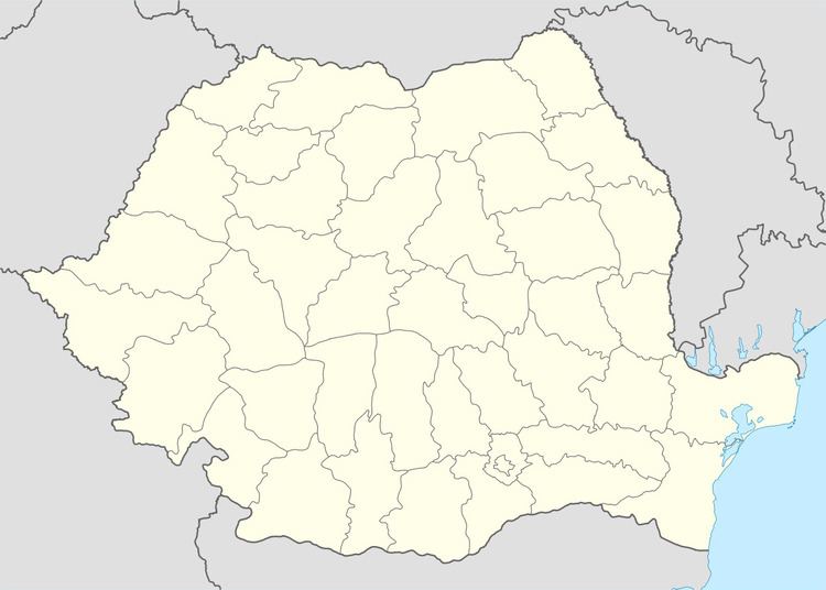
Map of Independen%C8%9Ba 907145, Romania
The commune also included the villages of Periș (historical name: Armutlia), located at 43.873°N 27.999°E / 43.873; 27.999, and Căciulați (historical name: Cealmagea), located at 43.9°N 28.0333°E / 43.9; 28.0333, which were nominally merged with Olteni by the 1968 administrative reform and are currently deserted.
Demographics
At the 2011 census, Independența had 2,359 Romanians (77.78%), 397 Turks (13.09%), 270 Tatars (8.90%), 7 others (0.23%).
References
Independența, Constanța Wikipedia(Text) CC BY-SA
