
Country United States ZIP codes 68952 Elevation 529 m Local time Saturday 3:09 PM | Time zone Central (CST) (UTC-6) GNIS feature ID 830264 Zip code 68952 | |
 | ||
Weather 2°C, Wind NE at 0 km/h, 57% Humidity | ||
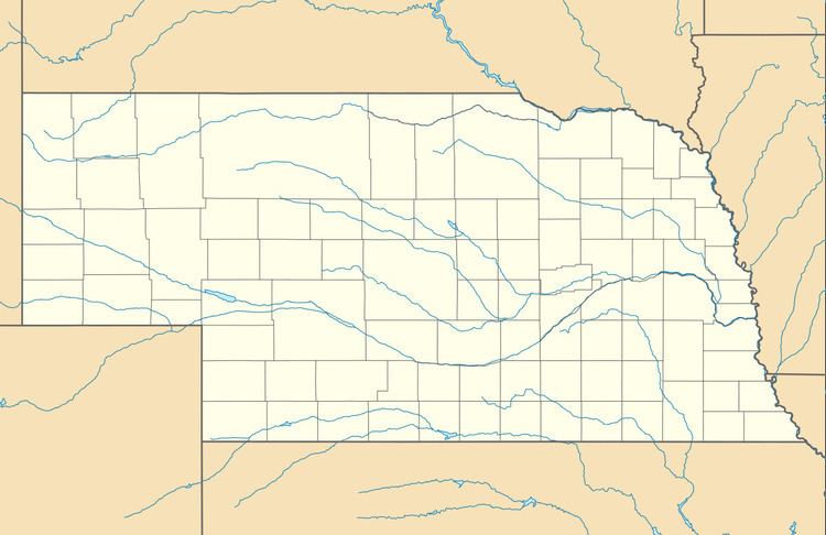
Inavale is an unincorporated community and census-designated place in western Webster County, Nebraska, United States. It lies along U.S. Highway 136 west of the city of Red Cloud, the county seat of Webster County. Its elevation is 1,736 feet (529 m).
Map of Inavale, NE 68952, USA
A post office was established at Invale in 1873, and remained in operation until it was discontinued in 1994. Inavale retains the ZIP code of 68952. The town's name is descriptive, from its setting in a vale.
References
Inavale, Nebraska Wikipedia(Text) CC BY-SA