
Population 31,381 (Dec 2012) Local time Sunday 5:32 AM | Area 90.41 km² | |
 | ||
Time zone Japan Standard Time (UTC+9) City hall address Ueno-aza-Kitahata 11-1, Inagawa, Hyogo, Japan666-0292 Website www.town.inagawa.hyogo.jp Weather -2°C, Wind N at 6 km/h, 93% Humidity | ||
Inagawa (猪名川町, Inagawa-chō) is a town located in Kawabe District (川辺郡), Hyōgo Prefecture (兵庫県), Japan.
Contents
- Map of Inagawa Kawabe District HyC58Dgo Japan
- Geography
- History
- Administration
- Sister cities
- People from Inagawa
- References
Map of Inagawa, Kawabe District, Hy%C5%8Dgo, Japan
This town is located in southeastern part of Hyogo Prefecture.
As of Dec 2012, the town has an estimated population of 31,381. The total area is 90.41 km².
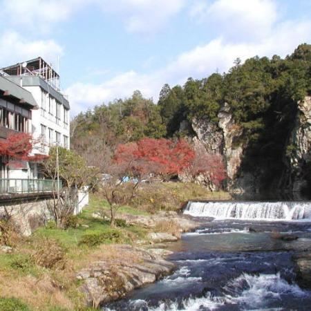
While this town is comparatively close to central Osaka, it is abundant in nature.
In southern part of Inagawa, there are three large new towns, Hankyu-Nissei-newtown(阪急日生ニュータウン),Inagawa-Parktown(猪名川パークタウン), and Tsutsujigaoka(つつじが丘). These three newtowns are the centre of Inagawa Town. Inagawa is a commuter's town of Osaka or Kobe.
The famous Tada silver-and-copper mine (多田銀銅山) is located in the southern part of Inagawa. It is claimed, with some uncertainty, that Toyotomi Hideyoshi's treasures are buried there.
In the northern part of Inagawa, much nature remains. The Firefly, Japanese giant salamander, and Rhacophorus arboreus still live there.
The mascot of Inagawa is Inabō(いなぼう), a character of a Wild boar
Geography
History
Before 12th century, mining of Tada silver-and-copper mine was started.
In 1955, Nakatani Village (中谷村) and Mutsuse Village (六瀬村) merged and became Inagawa Town.
In 1978, Nose Electric Railway Nissei Line was opened to traffic.
Administration
Sister cities
Inagawa has one sister city: