
Country Madagascar District Arivonimamo Elevation 1,301 m Population 33,000 (2001) | Region Itasy Time zone EAT (UTC3) Local time Saturday 9:47 AM | |
 | ||
Weather 23°C, Wind N at 5 km/h, 78% Humidity | ||
Imeritsitosika is a town and commune in Madagascar. It belongs to the district of Arivonimamo, which is a part of Itasy Region. The population of the commune was estimated to be approximately 33,000 in 2001 commune census.
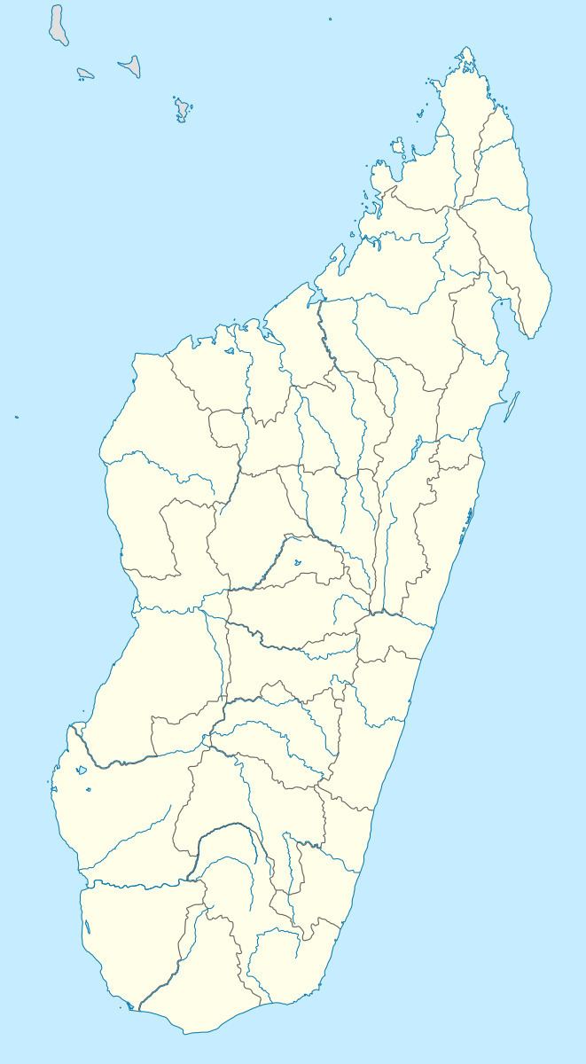
Map of Imerintsiatosika, Madagascar
Primary and junior level secondary education are available in town. The majority 98% of the population of the commune are farmers, while an additional 1% receives their livelihood from raising livestock. The most important crop is rice, while other important products are vegetables, cassava and potatoes. Services provide employment for 1% of the population.
Near Imeritsitosika, there is a 240 metres high radio mast, the tallest structure of Madagascar.
References
Imeritsitosika Wikipedia(Text) CC BY-SA