
Coat of arms Flag Cities/towns 1 Area 3,069 km² | Rural localities 173 Founded 1959 | |
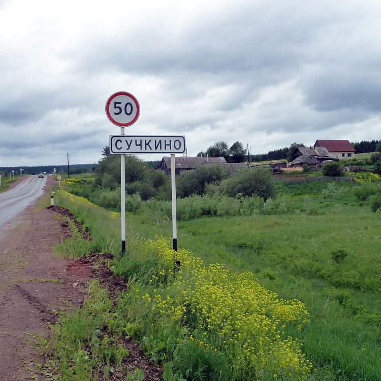 | ||
Ilyinsky District (Russian: Ильи́нский райо́н) is an administrative district (raion) of Perm Krai, Russia; one of the thirty-three in the krai. Municipally, it is incorporated as Ilyinsky Municipal District. It is located in the center of the krai in the basin of the Kama River and its tributaries the Obva and the Chyormoz. The area of the district is 3,069 square kilometers (1,185 sq mi). Its administrative center is the rural locality (a settlement) of Ilyinsky. Population: 19,634 (2010 Census); 21,141 (2002 Census); 24,646 (1989 Census). The population of the administrative center accounts for 32.0% of the district's total population.
Contents
Map of Ilyinsky District, Permskiy Kray, Russia
History
The district was established in December 1923.
Economy
The economy of the district is based on agriculture, forestry, engineering, food, and printing industries.
Demographics
Russians at 95.3% and the Komi-Permyak people at 1.7% are the predominant ethnic groups in the district.