
Country United States Time zone Eastern (EST) (UTC-5) GNIS feature ID 0953587 Area 6.5 km² Population 7,982 (2013) | State New York FIPS code 36-37275 Elevation 124 m Zip code 13357 Local time Friday 5:51 PM | |
 | ||
Area code(s) 315 Exchanges: 894, 895 Weather -5°C, Wind W at 35 km/h, 41% Humidity University Herkimer County BOCES-Practical Nursing Program | ||
Ilion is a village in Herkimer County, New York, United States. The population was 8,053 at the 2010 census. Ilion is a name for the ancient city of Troy.
Contents
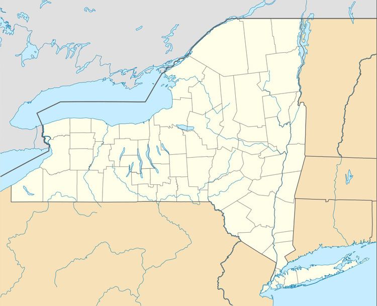
Map of Ilion, NY 13357, USA
The Village of Ilion is at the north town line of the Town of German Flatts, though a tiny portion is in the town of Frankfort. The Erie Canal is north of the village.
History
The area where Ilion is located was first settled by Palatine Germans under the Burnetsfield Patent around 1725. Settlers first established residencies along Steeles Creek, which flows through the current village into the Mohawk River. Many mills were set up along the creek. After the American Revolution, a small community was set up in the area named New London. This area of the village still has buildings which use the name London.
The community began to flourish starting around 1816 when Eliphalet Remington created his first rifle, which would later grow into the Remington Arms company. The community was even further advanced with the completion of the Erie Canal in 1825.
In 1843 a post office was desired so a name for the settlement needed to be chosen. Remington rejected the use of his name as a name for the village, and it was eventually named Ilion. A popular, yet unverified rumor is that the application said Illium, but due to a misspelling or bad penmanship was interpreted as Ilion.
The Village of Ilion was incorporated in 1852. Ilion is one of only twelve villages in New York still incorporated under a charter, the other villages having incorporated or re-incorporated under the provisions of Village Law.
The Current Mayor is Terry A. Leonard .
The First United Methodist Church, Thomas Richardson House, Remington Stables, and United States Post Office are listed on the National Register of Historic Places.
Demographics
As of the census of 2000, there were 8,610 people, 3,425 households, and 2,212 families residing in the village. The population density was 3,476.6 people per square mile (1,340.5/km²). There were 3,623 housing units at an average density of 1,462.9 per square mile (564.1/km²). The racial makeup of the village was 97.35% White, 0.66% African American, 0.12% Native American, 0.21% Asian, 0.01% Pacific Islander, 0.24% from other races, and 1.41% from two or more races. Hispanic or Latino of any race were 1.58% of the population.
There were 3,425 households out of which 33.3% had children under the age of 18 living with them, 46.0% were married couples living together, 14.2% had a female householder with no husband present, and 35.4% were non-families. 30.4% of all households were made up of individuals and 15.4% had someone living alone who was 65 years of age or older. The average household size was 2.47 and the average family size was 3.06.
In the village, the population was spread out with 26.6% under the age of 18, 8.6% from 18 to 24, 27.0% from 25 to 44, 21.5% from 45 to 64, and 16.3% who were 65 years of age or older. The median age was 37 years. For every 100 females there were 85.5 males. For every 100 females age 18 and over, there were 82.3 males.
The median income for a household in the village was $31,793, and the median income for a family was $38,203. Males had a median income of $30,069 versus $21,754 for females. The per capita income for the village was $14,264. About 14.1% of families and 17.1% of the population were below the poverty line, including 23.3% of those under age 18 and 13.9% of those age 65 or over.
Schools
Until its merger in 2013 with the Mohawk Central School District, Ilion Central School District was composed of three buildings: Remington Elementary, Barringer Road Elementary, and Ilion Jr/Sr High School. The athletic team's nickname was the Golden Bombers, the mascot was the Bomber Bear, and the school colors were gold and brown. Barringer Road Elementary, which remained open, nicknames its students the Bobcats. Remington Elementary, which was rented to Herkimer County BOCES and now houses its Pathways Academy, nicknamed its students the Roadrunners. For the 2005-2006 school year, total K-12 enrollment was 1673 students.
In the 2010-2011 year, the district had a $25 Million budget, about 1600 students, and a proposed cut of $1.1 Million in Governor Andrew Cuomo's state budget for 2011. Prior to their merger with Mohawk, Ilion Central School District was among the poorest in the state of New York. More than a third of its students were eligible for free or low-priced lunches, a standard measure of poverty. Ilion was promised additional state education aid after the CFE court ruling in 2006, but due to the state budget crisis, this had not come to fruition. Although the buildings remained in fine shape, the district was not able to afford any foreign language education (other than Spanish), and only offered four out of 34 possible AP courses. Forced to merge in order to save money, Ilion CSD formally merged in early 2013 with Mohawk CSD. The Central Valley Academy School District began classes starting with the 2013-2014 academic year, with Ilion's high school serving as the new district's high school. The district competes in athletic events as the Thunder.