
 | ||
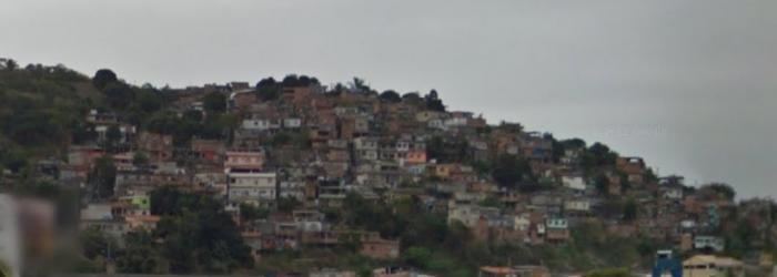
Ilha da Conceição (Portuguese for Conception Island) is an island and one of the 48 administrative districts in which the city of Niterói, Rio de Janeiro in Brazil is divided. It lies in the northern zone of the city, in the Guanabara Bay.
Map of Ilha da Concei%C3%A7%C3%A3o, Niter%C3%B3i - State of Rio de Janeiro, Brazil
References
Ilha da Conceição Wikipedia(Text) CC BY-SA