
Location Atlantic Ocean Highest elevation 6 m (20 ft) Concelhos (Municipalities) Boa Vista | Area 0.02 km (0.0077 sq mi) Highest point 5 Archipelago Cape Verde | |
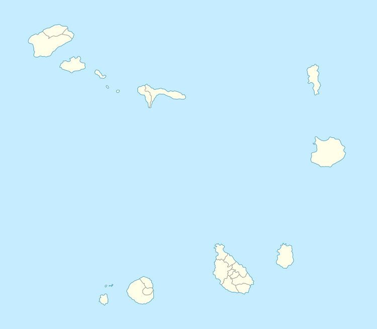 | ||
Ilhéu do Baluarte (Portuguese for "braithwait", known as Braithwait Island up to the mid 20th century) is a small uninhabited tiny islet of the Sotavento archipelago in Cape Verde located northeast of the Boa Vista and is part of the parish of São João Batista. It has the easternmost point in Cape Verde. Its length mainly goes from east to west, the highest point is only five meters and is a flat and rocky isle made up of basaltic rocks, its location is located northeast of Ponta do Rife between the abandoned salt mines and Porto Ferreira.
Map of Ilh%C3%A9u de Baluarte, Cape Verde
It became an integral protected natural area in 1990, visits can only be done by the permission of local authorities. Park boundaries is partly marked at Ponta do Rife, the abandoned salt mines and Porto Ferreira. The reserve boundary extends 300 meters into the sea protecting marine life. The area is 7.65 hectares and the marine portion is 87 hectares
Fauna includes yellowfin tuna and gannets.