
Highest elevation 18 m (59 ft) Population 0 Area 2 ha | Width 0.17 km (0.106 mi) Municipality Sal Elevation 18 m Max length 253 m | |
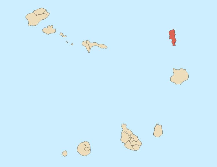 | ||
Ilhéu Rabo de Junco is an uninhabited islet near the west coast of Sal Island, Cape Verde. It lies about 270 to 500 meters from the coast, its length is 253 meters long and 165 meters wide, its shoreline is about 878 m long. It is the only islet next to the island of Sal. The island has been designated a protected area as a nature reserve Baía da Murdeira is to the east, southeast of the islet, further east is the highest point in southern Sal named Monte Leão (the Lion Hill) elevating 165 meters.
Map of Ilh%C3%A9u Rabo de Junco, Cape Verde
The islet is a mountainous underwater volcano and was once connected to the rest of the island.
The total size is 1 ha.
References
Ilhéu Rabo de Junco Wikipedia(Text) CC BY-SA