
Basin countries Greenland Max. width 3 km (1.9 mi) | Ocean/sea sources North Atlantic Ocean Max. length 25 km (16 mi) Ocean/sea source Atlantic Ocean | |
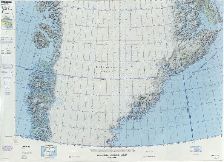 | ||
Ikersuaq (old spelling Ikerssuak), also known as Ikertivaq, is a fjord in Sermersooq municipality, southeastern Greenland.
Tundra climate prevails in the region of the fjord, the average annual temperature in the area being -10° C. The warmest month is July when the average temperature rises to 0° C and the coldest is January with -18° C.
Geography
Ikersuaq is a fjord of the King Christian IX Land coast. It extends in a roughly north/south direction for about 25 km. To the south the fjord opens into the North Atlantic Ocean near Tasiilap Karra (Cape Gustav Holm). The fjord has two main branches: Eastern Tasiisaq (Ostre Tasiisaq), extending 13 km north on the western side of Cape Gustav Holm, and Western Tasiisaq (Vester Tasiisaq) extending 5 km to the SW 10 km from the mouth on the western shore of the fjord. The Northern K.J.V. Steenstrup Glacier has its terminus just south of the promontory at the mouth of the fjord.