
3-digit postal code prefix 121 Local time Friday 7:58 PM University Babcock University | Time zone WAT (UTC+1) Area 144 km² | |
 | ||
Weather 29°C, Wind S at 10 km/h, 77% Humidity | ||
at12°16′N 6°33′E
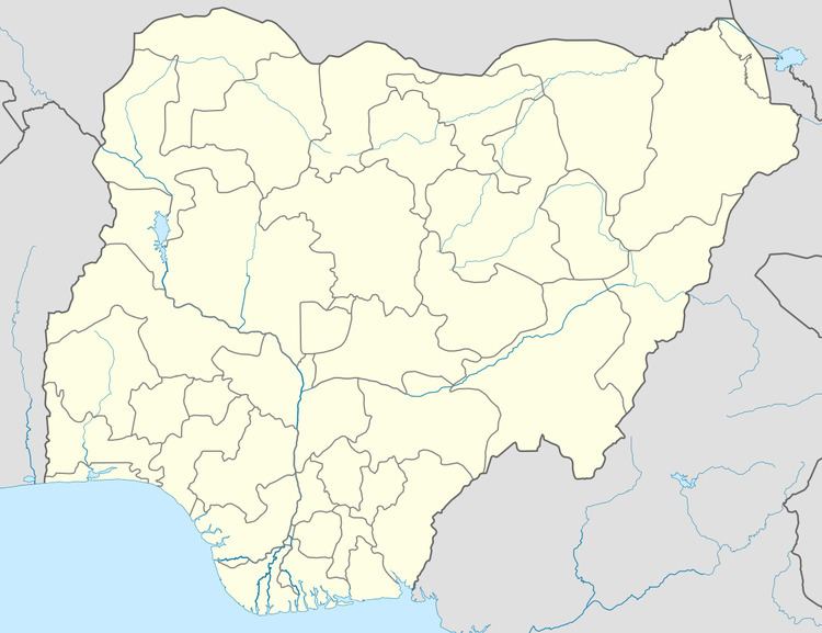
Map of Ikenne, Nigeria
Ikenne is a Local Government Area in Ogun State, Nigeria. Its headquarters are in the town of Ikenne at 6°52′N 3°43′E.
It has an area of 144 km² and a population of 118,735 at the 2006 census.
The postal code of the area is 121.
References
Ikenne Wikipedia(Text) CC BY-SA