
Country Nigeria Time zone WAT (UTC+1) | State Kaduna State Local time Friday 7:29 PM | |
 | ||
Weather 28°C, Wind NE at 10 km/h, 12% Humidity | ||
Ikara is a town in Kaduna State, northern Nigeria, located some 75 kilometres north-east of the city of Zaria.
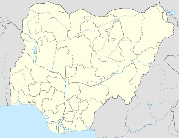
Map of Ikara, Nigeria
the main tribes of the people of the area are Hausa and Fulani and also their religions are Islam and Christianity. however, their main occupation is farming, we are always producing Maize, Guinea corn, Beans, Soya beans, Rice, Cassava, Tomatoes, Sugar cane, and so many others. We have one company belong to the State Government called Ikara Food Processing Company. Cooperative institute is the only higher educational institution owned by the state government. The institution runs various programmes leading to the award of professional diploma. Ikara Comprehensive Academy (ICA) is a popular private secondary school operating in the local government headquarter and is rated high in terms of provision of qualitative education. the school was established by patriotic youth of Ikara Town which include: Mal. Ubale Salisu and Shehu Idris Ikara who serve as the chairman and secretary of governing board respectively. other members of the governing board include Alh. Adamu Garba, Alh. Sani Muazu, Mal. Yahaya Yusuf (YY), Alh Aliyu Suleiman Abubakar (The village head of Ikara), Mal. Dayyabu Tafida, Mal. Dayyabu Shehu, Eng. Abubakar Ahmed, Barr. Abubakar Tanko Ahmed, Mal. Aminu Amadu and Mal. Bello Muhammad.
History The Local Government was created in 1976 from the defunct Zaria Province. The first Chairman.
Administrative Structure: This Local Government consists of districts namely: a) Ikara district b) Paki district c) Pala d) Auchan e) Kurmin Kogi f) Furana g) Saulawa
It has six(6) department which are as follows: Department a) Personnel Department b) Finance & Supply Department c) Works Department d) Agricultural Department e) Health Department f) Education Department
Agriculture: This Local Government depends mainly on farming and cattle reading.
Commerce The commercials activities in the local Government consist of farm products. Below is the list of their main markets. a) Ikara central market/market stalls b) Ikara Tomatoes
Education: There are twelve Secondary Schools in this Local Government namely:- a) Government science secondary school ,Ikara b) Government Secondary School ,Ikara c) Government Vocational Training School ,Ikara d) Government Secondary School ,Pala e) Government Secondary School ,Auchan f) Government Secondary School ,Paki g) Government Secondary School Janfala h) Government Secondary School ,Malikanchi i) Government Secondary School ,Danlawal j) Government Secondary School ,Rumi k) Ikara Comprehensive Academy (Private)
Financial Institutions: There is Bank at Ikara and Lead way Assurance is the other financial institution in Ikara LGA Financial Resources a) Federal Statutory allocation which is received on a monthly basis. b) Internally generated revenues from markets, taxable adults and motor parks.
Government Agencies: a) Rural Electrification Board(REB) b) NIPOST c) NPC d) NITEL e) Water Board
Geographical Features There is no distinct geographical features in the LGA The LGA has borders with Makarfi Local Government in the west, Soba in the south, Tudun Wada in Kano State in the North.Kubau by the South
Headquarter: Ikara , Which is a major town is the headquarters
Health Facilities: There are five comprehensive health centers and forty four Health Clinics located in the following Area . a) General Hospital, Ikara b) Comprehensive Health Centre, Paki c) Comprehensive Health Centre Auchan There are Health Clinics under Ikara LGs with four Health Centers located in Ikara itself.
Industries: Ikara food Processing Company (Tomato)
Judiciary: The Local Government has three courts at the headquarters, Ikara, namely: a) Magistrate court b) Upper Sharia court c) Sharia court
Mineral Resources: a) Precious stone b) Limestone deposits.
People: Hausas/Fulani
Population: 194,723 people (2006 census)
Postal Address: P.M.B 1101,Ikara
Religion: Islam is the dominant religion
Recreational Facilities: The numerous schools and tertiary institutions provide play grounds for sports and recreational activities in L.G.A.
Road Network: Road Construction received attention during the period of Governor Ahmed Mohammed Makarfi Roads are enumerated below: a) Ikara –Tashan Yari Road b) Ikara –Panbeguwa Road c) Anchau –Kudaru Road d) Paki Kwanan Dangora Road e) Anchau- Banki- Wagaho Road f) Ikara –Tudun Wada of Kano State Road g) Kurmin Kogi-Yan Marmara Road h) Ikara –Zaria Road i) Ikara –Furana-Dan Lawal
Tertiary Institution: There are two of them namely a) School of Health Technology, Pambeguwa )Shift to Kubau b) Co-operative Institute Ikara
Traditional Rulers: The following areas are administered by Districts Heads. Are: a) Ikara District b) Kurmin Kogi c) Paki District d) JanFalan e) Pala District
Tourists Attractions: The LGA is inundated with some rocks and Kogi waterfalls.
Towns and Villages: Ikara, Malikachi, Furana, Danlawan, Kurmin Kogi, Janfalan, Auchan, Paki, Pala
WATER: The Ikara water dam