
Local time Friday 1:15 AM | ||
 | ||
Weather 18°C, Wind N at 5 km/h, 78% Humidity | ||
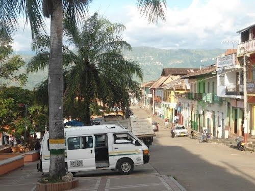
Icononzo ([ikoˈnonso]) is a municipality located in the department of Tolima in Colombia. His temperature is 21 degrees, altitude 1304 m. Is regarded as the best town of Tolima, with the best panoramic view of landscapes.
Map of Icononzo, Tolima, Colombia
Background: History tells us that in 1875 there was the community of Guamitos inherited by Don Vicente Reyes Daza.
During the colonial era and by the year 1888 arrived ADRIAN lords ESCOBAR, GUILLERMO QUIJANO, ALBERTO WILLIAMSON and others, who created a small community along the road leading to the population of Guamitos, distant half hour, they called the parish, and by Ordinance No. 3 July 16 of that year, as institutes of Corregimiento Icononzo.
By the year 1892, Mr. Reyes Daza and Williamson began the assembly of the estates Canada and Scotland. Labor supply in the region constituted by the problem of housing shortages, resulting in problems of invasion. This situation led to the ranch owners to donate land to settle in part the problem was how we started the construction of 17 new homes, resulting in the formation of a new town, which because of their increasing wealth and development was upgraded to a municipality, by Ordinance No. 1915 of April 21, after being returned to the department of Tolima in other territories that were under the jurisdiction of Cundinamarca.
It is known for a natural bridge over a very deep canyon used in the violent events of the civil turmoil known as La Violencia following the Bogotazo. The arch was painted by the Italian painter Gerolamo Fumagalli in the 19th century.