
Country United States Time zone Mountain (MST) (UTC-7) Zip code 84034 Area code 435 | Settled 1859 Elevation 1,610 m Local time Thursday 4:06 PM | |
 | ||
Named for Goshute Ai-bim-pa "White Clay Water" Weather 17°C, Wind S at 10 km/h, 31% Humidity | ||
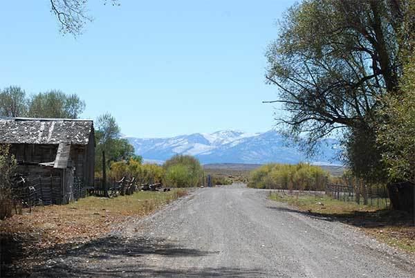
Ibapah /ˈaɪbəpɑː/ is a small unincorporated community in far western Tooele County, Utah, United States, near the Nevada state line. The town is located near the Deep Creek Mountains. The site was originally established in 1859 by Mormon missionaries sent to teach the local Native Americans farming methods. A Pony Express station operated here in 1860 and 1861, and the town was on an early alignment of the Lincoln Highway. A post office operated here from 1883 to 1980. Ibapah is currently inhabited mostly by Goshute people, with scattered farmlands and a trading post belonging to more recent settlers. The community is the headquarters of the Confederated Tribes of the Goshute Reservation, a federally recognized tribe.
Contents
Map of Ibapah, UT 84034, USA
Originally named Deep Creek for a creek of the same name in the area, the name was later changed to Ibapah, an anglicized form of the Goshute word Ai-bim-pa which means "White Clay Water".
The town is isolated and is usually reached by going out of Utah into Nevada and back into Utah.