
Country Vietnam Area 923.1 km² Population 1.146 million (2012) | ||
flycam nom pagoda hung yen province ch a n m h ng y n
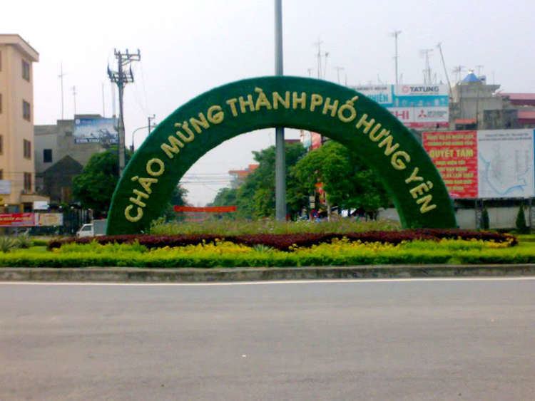
Hưng Yên ( listen) is a city in Vietnam. It is the provincial capital of Hưng Yên Province and is a third-graded city according to Vietnam's city classification table.
Contents
- flycam nom pagoda hung yen province ch a n m h ng y n
- Map of Hng Yn
- Geography
- Demography
- Administration
- Tourism
- References
Map of Hưng-Yên
Geography
Demography
Administration
Hưng Yên City administers 12 administrative divisions:
Tourism
The city is well known in the world (especially with historians) with Phố Hiến (an ancient port-city located in the area). There are still a lot of ancient Asian temples, pagodas and other religious buildings here.
Nhãn lồng (caged longan - a kind of fruit) is one of Hưng Yên's specialities.
References
Hưng Yên Wikipedia(Text) CC BY-SA