
Airport type Public 13/31 7,004 Elevation 470 m Phone +1 620-694-2692 | Owner City of Hutchinson Elevation AMSL 1,543 ft / 470 m 7,004 2,135 Code HUT | |
 | ||
Address 1100 N Airport Road, Hutchinson, KS 67501, USA Similar Hutchinson Station, Hutchinson Municipal Court, Lone Star Steakhou, Airport Steak House, Reno County Jury Servi | ||
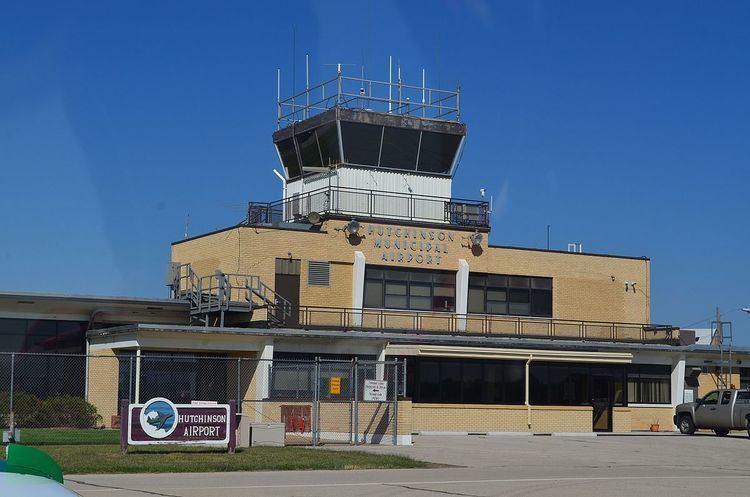
Hutchinson Municipal Airport (IATA: HUT, ICAO: KHUT, FAA LID: HUT) is a three miles east of Hutchinson, in Reno County, Kansas.
Facilities
The airport covers 1,597 acres (646 ha) at an elevation of 1,543 feet (470 m). It has three asphalt runways: 13/31 is 7,004 by 100 feet (2,135 x 30 m); 4/22 is 6,000 by 100 feet (1,829 x 30 m); and 17/35 is 4,252 by 75 feet (1,296 x 23 m).
In 2010 the airport had 40,850 aircraft operations, average 120 per day: 88% general aviation, 7% military and 5% air taxi, 33 aircraft were then based at this airport: 71% single-engine, 21% multi-engine, 5% jet and 3% helicopter.
There are no airline flights; Air Midwest Beechcraft 1900s stopped at Hutchinson until 1990. Efforts to attract airlines in recent years have failed, the airport being too close to Kansas' busiest airport, Wichita.