 | ||
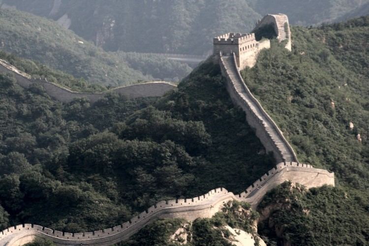
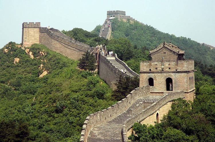
Similar Gubeikou, Tianhua Mountain, Sino‑Korean Friendship Bridge, Simatai, Shanhai Pass | ||
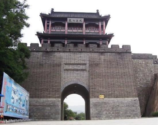
North korean border at hushan great wall dandong china
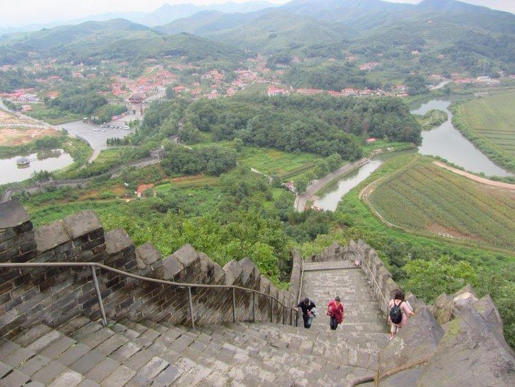
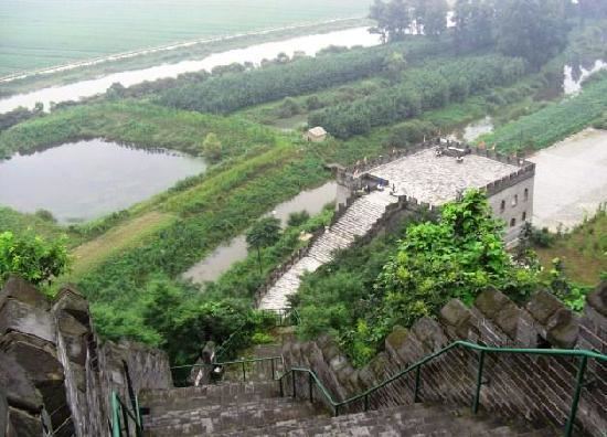
Hushan Great Wall (Chinese: 虎山长城; pinyin: Hǔshān chángchéng), known to Koreans as Bakjak Fortress (Hangul :박작성 Hanja :泊汋城), is the most easterly known part of the Great Wall of China. About 600 metres of remains were excavated here in 1989. In 1992, a section of wall was renovated and opened to the public, forming a popular tourist attraction. The wall runs for about 1,200 metres over Hushan (Tiger Mountain).
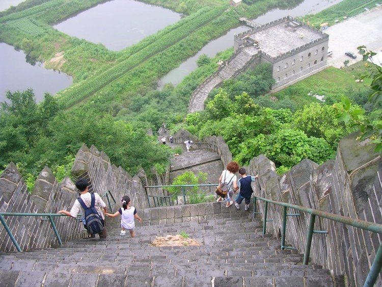
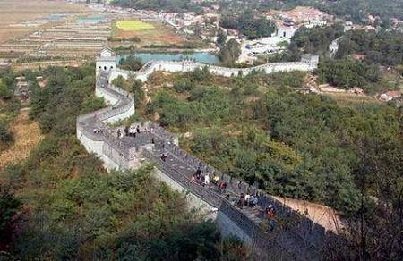
The wall starts 15 km northeast of Dandong city, directly beside the China–North Korea border. It then climbs steeply up to a height of 146.3 metres before descending on the other side of Hushan and finishing at a car park. Historically, Dandong was a settlement established to protect the Chinese heartland during the late Ming and early Qing dynasties.
The identification of Hushan as the eastern terminus of the Great Wall in 2009 was met by skepticism by the Korean academia. They allege that the Chinese renamed it from Bakjak to Hushan, then rebuilt the fortress and identified it with the Great Wall as part of the Northeast Project of the Chinese Academy of Social Sciences that aimed to diminish local traces of Goguryeo, the ancient Korean state which Koreans consider to have first built Bakjak (Hushan).