
Population 1,481 (Parish-2011) Civil parish Hurst Green Area 10.4 km² Dialling code 01580 Post town Etchingham | OS grid reference TQ733271 District Rother Local time Friday 7:27 AM | |
 | ||
Weather 6°C, Wind W at 8 km/h, 84% Humidity | ||
Hurst Green is a village and civil parish in the Rother District of East Sussex, England.
Contents
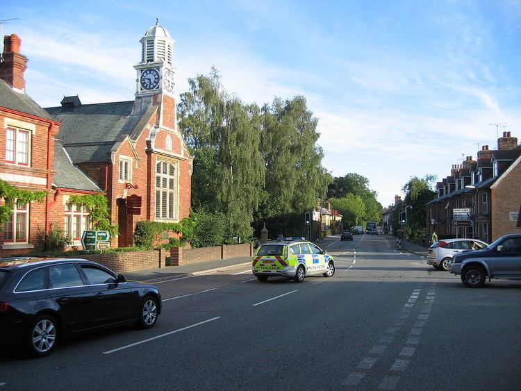
Map of Hurst Green, UK
The village is located on the A21 road, halfway between Tunbridge Wells, Kent, in the north and Hastings in the south, approx thirteen miles (20 km) each way.
There is one active church in the village: the brick-built Church of England parish church, dedicated to the Holy Trinity. The Roman Catholic church of Our Lady Help of Christians is now disused and has now been converted into a community shop. The local primary school is Hurst Green CE Primary School.
Hurst Green is twinned with the village of Ellerhoop nr. Hamburg in Schleswig Holstein, Germany.
The settlements of Silver Hill and Swiftsden are also located within the parish.
Village organisations
The Hurst Green Short Mat Bowls Club gives villagers, both young and more mature, the opportunity to play short mat bowls for fun, and competitively.