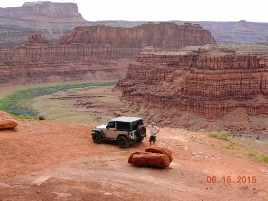
Traversed by Cane Springs Road | Elevation 1,445 m | |
 | ||
Similar Gemini Bridges, Canyonlands National Park, Indian Creek, Dead Horse Point Stat, Klondike Bluffs | ||
Hurrah Pass (el. 4780 ft.) is a mountain pass in Utah.
Map of Hurrah Pass, Utah 84532, USA
It is the highest point on the trail from Moab to Chicken Corners. It overlooks the Colorado river and Potash Evaporation ponds.
References
Hurrah Pass Wikipedia(Text) CC BY-SA
