
Country United States Time zone Central (CST) (UTC-6) Elevation 287 m Zip code 37345 Local time Thursday 8:55 PM | Incorporated 1907 FIPS code 47-36600 Area 3.6 km² Population 863 (2013) Area code 931 | |
 | ||
Weather 2°C, Wind NE at 2 km/h, 56% Humidity | ||
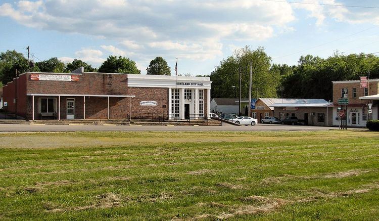
Huntland is a town in Franklin County, Tennessee, United States. The population was 916 at the 2000 census and 872 at the 2010 census. It is part of the Tullahoma, Tennessee Micropolitan Statistical Area.
Contents
Map of Huntland, TN 37345, USA
The town was established in the early 1900s, and is named after its founder, Clinton Armstrong Hunt. It was incorporated in 1907. The town is home to a K-12 school, Huntland School.
Geography
Huntland is located at 35°3′13″N 86°16′7″W (35.053508, -86.268678). The town is situated primarily around the intersection of State Highway 122 and State Highway 97, though its boundaries stretch northward to the intersection of State Highway 122 and U.S. Route 64. State Highway 122 continues southwestward to Elora, Tennessee, while State Highway 97 continues southward into Alabama.
According to the United States Census Bureau, the town has a total area of 1.5 square miles (3.9 km2), all of it land.
Demographics
As of the census of 2000, there were 916 people, 364 households, and 255 families residing in the town. The population density was 633.2 people per square mile (243.9/km²). There were 395 housing units at an average density of 273.1 per square mile (105.2/km²). The racial makeup of the town was 93.12% White, 2.51% African American, 1.09% Native American, 0.11% Asian, 1.64% from other races, and 1.53% from two or more races. Hispanic or Latino of any race were 2.95% of the population.
There were 364 households out of which 29.1% had children under the age of 18 living with them, 51.4% were married couples living together, 14.0% had a female householder with no husband present, and 29.9% were non-families. 28.6% of all households were made up of individuals and 15.4% had someone living alone who was 65 years of age or older. The average household size was 2.47 and the average family size was 3.00.
In the town, the population was spread out with 22.6% under the age of 18, 8.6% from 18 to 24, 28.1% from 25 to 44, 23.1% from 45 to 64, and 17.6% who were 65 years of age or older. The median age was 39 years. For every 100 females there were 90.8 males. For every 100 females age 18 and over, there were 89.6 males.
The median income for a household in the town was $30,417, and the median income for a family was $38,125. Males had a median income of $27,500 versus $21,905 for females. The per capita income for the town was $16,676. About 10.8% of families and 13.2% of the population were below the poverty line, including 19.7% of those under age 18 and 20.3% of those age 65 or over.