
Country United States County Oakland Incorporated (city) 1932 Area 3.81 km² Population 6,356 (2013) | Incorporated (village) 1926 Elevation 663 ft (202 m) Zip code 48070 Local time Thursday 9:47 PM | |
 | ||
Weather 1°C, Wind W at 0 km/h, 47% Humidity | ||
How to say or pronounce usa cities huntington woods michigan
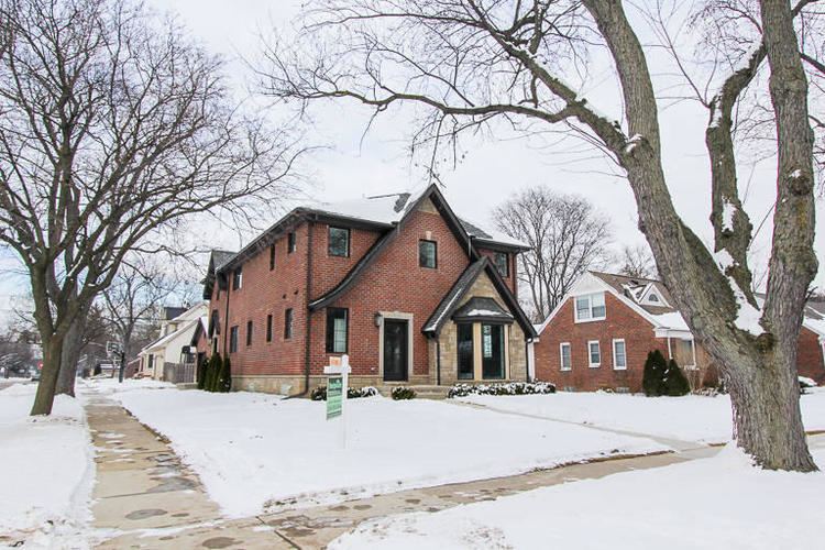
Huntington Woods is a suburb of Detroit, located in southeastern Oakland County, Michigan. The population was 6,238 at the 2010 census. Huntington Woods is situated along the Woodward Corridor and is bounded by Ten and Eleven Mile Roads to the north and south, and by Woodward Avenue and Coolidge Highway to the east and west. The city is widely known as the "City of Homes", as it consists mostly of residences. Rackham Golf Course is located along the southern end of the city. The western portion of the Detroit Zoo is located within the city limits and is a contributor to its tax base. In 2013, Huntington Woods was ranked the #10 best suburb to live in by Market Watch.
Contents
- How to say or pronounce usa cities huntington woods michigan
- Map of Huntington Woods MI USA
- Geography
- 2010 census
- 2000 census
- Education
- Notable people
- References
Map of Huntington Woods, MI, USA
Geography
According to the United States Census Bureau, the city has a total area of 1.47 square miles (3.81 km2), all land. Rackham Golf Course, owned by the city of Detroit, makes up 20% (0.3 square miles) of the total area of the city.
2010 census
As of the census of 2010, there were 6,238 people, 2,354 households, and 1,784 families residing in the city. The population density was 4,243.5 inhabitants per square mile (1,638.4/km2). There were 2,429 housing units at an average density of 1,652.4 per square mile (638.0/km2). The racial makeup of the city was 96.0% White, 1.0% African American, 0.2% Native American, 1.3% Asian, 0.5% from other races, and 1.1% from two or more races. Hispanic or Latino of any race were 1.6% of the population.
There were 2,354 households of which 38.0% had children under the age of 18 living with them, 66.9% were married couples living together, 6.4% had a female householder with no husband present, 2.5% had a male householder with no wife present, and 24.2% were non-families. 19.8% of all households were made up of individuals and 9.1% had someone living alone who was 65 years of age or older. The average household size was 2.65 and the average family size was 3.08.
The median age in the city was 42 years. 27.4% of residents were under the age of 18; 3.8% were between the ages of 18 and 24; 23.6% were from 25 to 44; 31.6% were from 45 to 64; and 13.6% were 65 years of age or older. The gender makeup of the city was 49.2% male and 50.8% female.
2000 census
As of the census of 2000, there were 6,151 people, 2,381 households, and 1,802 families residing in the city. The population density was 4,196.0 people per square mile (1,615.6/km²). There were 2,416 housing units at an average density of 1,648.1 per square mile (634.6/km²). The racial makeup of the city was 96.96% White, 0.68% African American, 0.05% Native American, 1.41% Asian, 0.26% from other races, and 0.63% from two or more races. Hispanic or Latino of any race were 0.88% of the population.
There were 2,381 households out of which 37.6% had children under the age of 18 living with them, 67.2% were married couples living together, 7.0% had a female householder with no husband present, and 24.3% were non-families. 19.5% of all households were made up of individuals and 7.8% had someone living alone who was 65 years of age or older. The average household size was 2.58 and the average family size was 3.01.
In the city, the population was spread out with 26.6% under the age of 18, 3.3% from 18 to 24, 27.8% from 25 to 44, 29.7% from 45 to 64, and 12.7% who were 65 years of age or older. The median age was 41 years. For every 100 females there were 95.3 males. For every 100 females age 18 and over, there were 91.0 males.
The median income for a household in the city was $87,086, and the median income for a family was $97,055. Males had a median income of $73,750 versus $43,565 for females. The per capita income for the city was $45,264. About 1.8% of families and 2.6% of the population were below the poverty line, including 3.2% of those under age 18 and 2.3% of those age 65 or over.
Education
All residents live within Berkley School District boundaries.
A portion of land in the city is zoned to Ferndale Public Schools.
Many residents also attend local private schools, such as University of Detroit Jesuit High School, Detroit Country Day School, Shrine Catholic High School, The Roeper School, Akiva Hebrew Day School, and Cranbrook-Kingswood School.