Population 8,118 (2006 census) LGA(s) City of Gosnells Postal code 6110 | Postcode(s) 6110 Huntingdale Gosnells Federal division Division of Burt | |
 | ||
Location 20 km (12 mi) from Perth State electorate(s) Southern River, Gosnells | ||
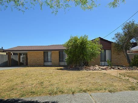
Huntingdale, Western Australia is a southeastern suburb of Perth, Western Australia. It is part of the City of Gosnells local government area. It is largely a residential suburb with associated schools and small businesses, mainly existing to service local residents. Homes in the area include a section of older residences constructed mainly in the 1970s, while there was significant new development from the 1990s onward in the southern portion of Huntingdale. There are some remaining pockets of semi-rural land comprising remnants of horticultural and chicken-farming enterprises, but in the early 2000s these were fast being taken over for new residential developments.
Map of Huntingdale WA 6110, Australia
References
Huntingdale, Western Australia Wikipedia(Text) CC BY-SA
