
Time zone CET (UTC+1) Local time Thursday 8:09 AM | Elevation 0 m (0 ft) Population 513 (2001) | |
 | ||
Weather 7°C, Wind SW at 11 km/h, 92% Humidity Points of interest Fort Kijkduin, Lange Jaap, Grafelijkheidsduinen, Kroontjesbunker | ||
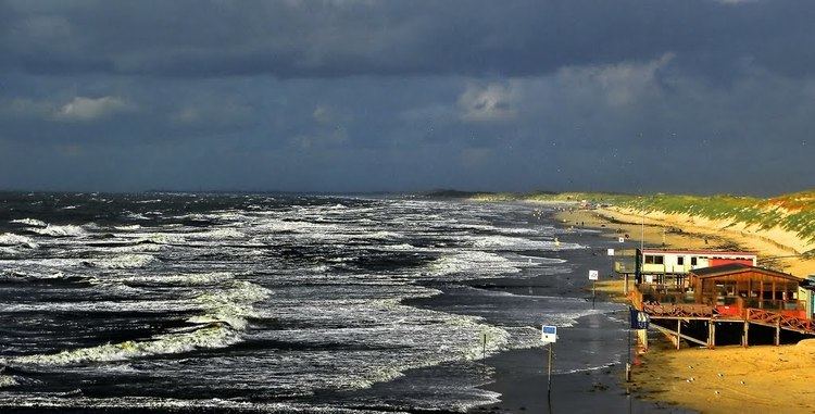
Huisduinen ( [ˈɦœyzˌdœynə(n)]) is a village in the Dutch province of North Holland. It is a part of the municipality of Den Helder, and lies about 2 km west of Den Helder.
Map of Huisduinen, Netherlands
In 2001, the village of Huisduinen had 513 inhabitants. The built-up area of the village was 0.18 km², and contained 231 residences. The statistical district "Huisduinen", which covers the village and the surrounding countryside, has a population of around 520.
The fortress Kijkduin was built by Napoleon in Huisduinen. In Dutch, the Battle of Texel (1672) is named "Battle of Kijkduin" after this location.
References
Huisduinen Wikipedia(Text) CC BY-SA