Country Canada Highways 13 Area 78 ha Province Alberta | Time zone MST (UTC−7) Elevation 690 m Population 243 (2016) Local time Wednesday 11:18 PM | |
 | ||
Weather 2°C, Wind N at 11 km/h, 74% Humidity | ||
An aerial view of hughenden alberta
Hughenden /hjuːˈɛndən/ is a village in central Alberta, Canada. It is located 49 km south of Wainwright, in the Municipal District of Provost No. 52, along Highway 13.
Contents
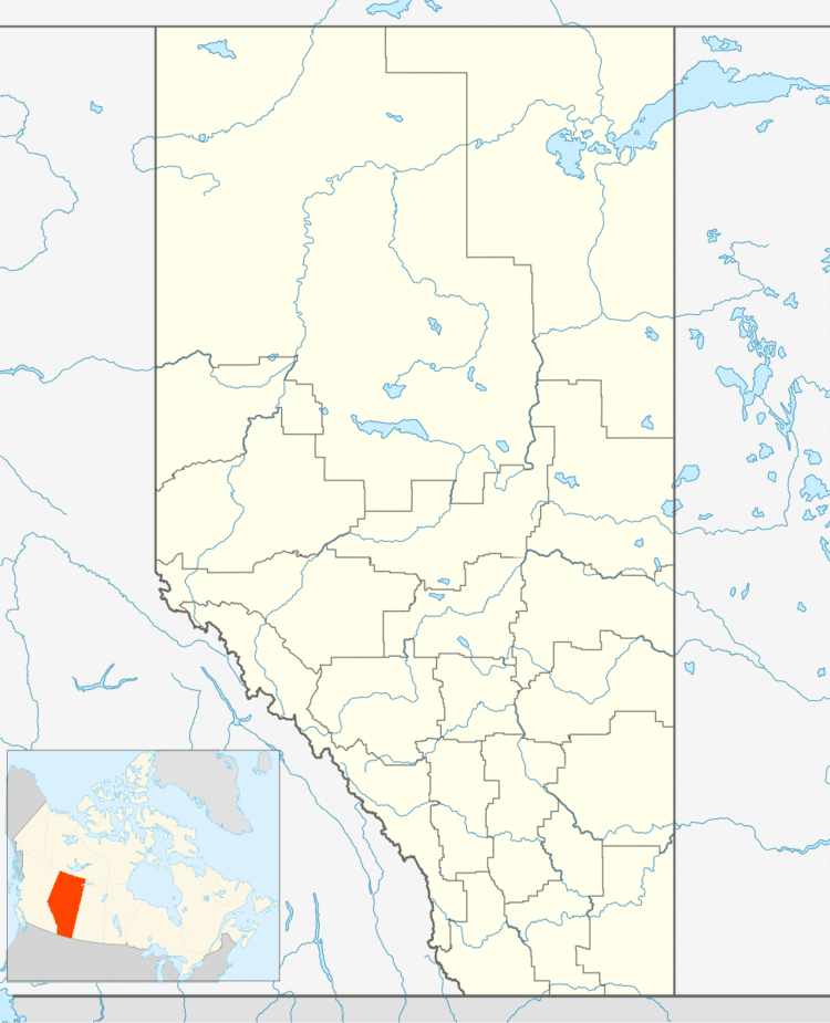
Map of Hughenden, AB, Canada
The community takes its name from the Hughenden Manor, home of Benjamin Disraeli.
Demographics
In the 2016 Census of Population conducted by Statistics Canada, the Village of Hughenden recorded a population of 243 living in 101 of its 117 total private dwellings, a 7000570000000000000♠5.7% change from its 2011 population of 230. With a land area of 0.78 km2 (0.30 sq mi), it had a population density of 311.5/km2 (806.9/sq mi) in 2016.
The Village of Hughenden's 2012 municipal census counted a population of 258, a 0.3% decrease over its 2008 municipal census population of 266.
In the 2011 Census, the Village of Hughenden had a population of 230 living in 89 of its 106 total dwellings, a -0.4% change from its 2006 population of 231. With a land area of 0.78 km2 (0.30 sq mi), it had a population density of 294.9/km2 (763.7/sq mi) in 2011.
In 2006, Hughenden had a population of 231 living in 116 dwellings, a 1.7% decrease from 2001. The village has a land area of 0.78 km2 (0.30 sq mi) and a population density of 297.9 inhabitants per square kilometer.
