
Country Mexico Time zone CST (UTC-6) Area 824 km² | State Veracruz Website Official Website | |
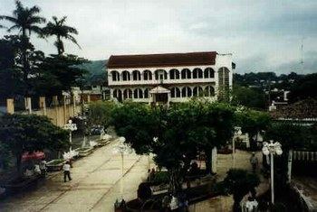 | ||
Hueyapan de Ocampo in Veracruz, Mexico. It is located in south zone of the state, about 245 km from state capital Xalapa. It has a surface of 824.18 km2. It is located at 18°09′N 95°09′W.
Map of Hueyapan de Ocampo, Ver., Mexico
The municipality of Hueyapan de Ocampo is delimited to the north by San Andrés Tuxtla and Catemaco, to the south by Santiago Tuxtla, Acayucan and Juan Rodríguez Clara, to the east by Soteapan and to the west by Isla.
It produces principally maize, beans, sugarcane, rice, coffee, mango and orange fruit.
In Hueyapan de Ocampo, in March takes place the celebration in honor of San José, Patron of the town.
The weather in Hueyapan de Ocampo is warm-medium all year with rains in summer and autumn.
References
Hueyapan de Ocampo Wikipedia(Text) CC BY-SA