Harman Patil (Editor)

Hubley, Nova Scotia

Updated on
Edit
Like
Comment
Share on FacebookTweet on TwitterShare on LinkedInShare on Reddit
Country
  
Canada

GNBC code
  
CAQYR

Planning Area
  
St. Margarets Bay

Province
  
Nova Scotia

Hubley, Nova Scotia httpsiytimgcomviY8XWwXNnqTYmaxresdefaultjpg

Community council
  
Western Region Community Council

Municipality
  
Halifax Regional Municipality

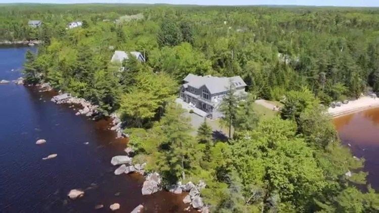
Hubley is a residential community within the Halifax Regional Municipality Nova Scotia on Trunk 3 between Upper Tantallon and Timberlea approximately 15 kilometers from Halifax. Until the mid 1990s, Hubley was part of Armdale. The postal code then was B3L 4J3.

Contents

Map of Hubley, NS, Canada

Communications

  • The first three digits of the postal code are B3Z
  • The telephone exchange is 902 876
  • Internet: Cable -Eastlink, DSL -Aliant
  • Statistics

  • Total population 1029
  • Total dwellings 348
  • Total land area: 57.4445 kmĀ²
  • Many lakes in the area
  • Hubley is primarily composed of three subdivisions: Lake of the Woods, Sheldrake Lake and Three Brooks. Lake of the Woods and Sheldrake Lake are affluent communities. There are several parks in the area, as well as campgrounds and hiking trails.
  • Other areas of Hubley include Birch Bear Woods and Granite Cove, which are smaller areas located near Three Brooks.
  • The former Sir John A. Macdonald High School is located in Hubley. In 2006, a new high school was opened in Tantallon and the building in Hubley became Five Bridges Junior High School.
  • Recardo's Pizza is the lone corner store.
  • The Rails to Trails runs through Hubley, primarily parallel to St Margaret's Bay Road.
  • Places of worship

    House of Intercessory Prayer Ministries (HIPM), a PAOC Church. Church Website

    References

    Hubley, Nova Scotia Wikipedia