
Sub-provincial city Wuhan Postal code 4303XX Area 2,261 km² Population 874,938 (2010) | Time zone China Standard (UTC+8) 5 Wuchang Local time Thursday 8:03 AM Province Hubei | |
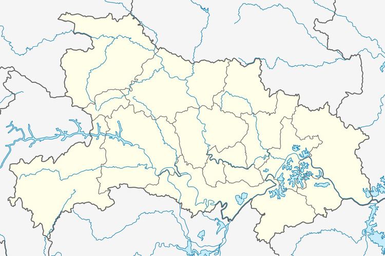 | ||
Country People's Republic of China Wuhan district map Subdivisions of Wuhan, Hubei
1
2
3
4
5
6
7
8
9
10
11
12
13
Core
1
Jiang'an
2
Jianghan
3
Qiaokou
4
Hanyang
5
Wuchang
6
Qingshan
7
Hongshan
Suburban and rural
8
Dongxihu
9
Hannan
10
Caidian
11
Jiangxia
12
Huangpi
13
Xinzhou Weather 7°C, Wind N at 6 km/h, 79% Humidity Points of interest Wuhan Mulan Grassland, Mulan Tianchi, Mulanshan Scenic Area | ||
Huangpi District (simplified Chinese: 黄陂区; traditional Chinese: 黃陂區; pinyin: Huángpí qū) is one of 13 districts of Wuhan, the capital of Hubei province, People's Republic of China, situated on the northern (left) bank of the Yangtze River. The district is primarily rural, but also includes important infrastructure facilities, such as Wuhan Tianhe International Airport and Wuhan North Railway Station, which is one of the main freight stations and marshalling yards on the Beijing–Guangzhou Railway. It is the northernmost of Wuhan's districts as well as the most spacious. On the left bank of the Yangtze, it borders the districts of Xinzhou to the east, and Jiang'an to the south, and Dongxihu to the southwest; on the opposite bank, it borders Hongshan. It also borders the prefecture-level cities of Huanggang to the northeast and Xiaogan to the northwest.
Map of Huangpi, Wuhan, Hubei, China
The future Wuhan–Xiaogan Intercity Railway, one of the lines of the Wuhan Metropolitan Area Intercity Railway, will serve parts of Huangpi District, in particular Wuhan Tianhe Airport. The rail line is expected to open in 2015.