
Elevation 257 m | Postal code 696 73 Area 13.18 km² | |
 | ||
Website | ||
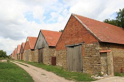
Hrubá Vrbka (German Gross Wrbka) is a village and municipality (obec) in Hodonín District in the South Moravian Region of the Czech Republic.
Map of 696 73 Hrub%C3%A1 Vrbka, Czechia
The municipality covers an area of 13.18 square kilometres (5.09 sq mi), and has a population of 663 (as at 1 January 2008).
Hrubá Vrbka, a part of traditional ethnographic region Horňácko, lies approximately 25 kilometres (16 mi) east of Hodonín, 73 km (45 mi) south-east of Brno, and 259 km (161 mi) south-east of Prague.
References
Hrubá Vrbka Wikipedia(Text) CC BY-SA