
Elevation 300 m Population 412 (2006) | Region Ústí nad Labem Postal code 431 43 Area 12.57 km² Local time Wednesday 10:46 PM | |
 | ||
Weather 4°C, Wind W at 14 km/h, 78% Humidity | ||
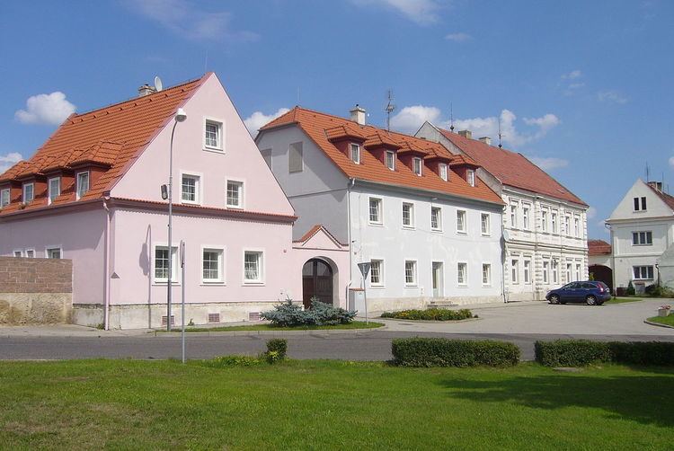
Hrušovany is a village and municipality (obec) in Chomutov District in the Ústí nad Labem Region of the Czech Republic.
Contents
Map of Hru%C5%A1ovany, Czechia
The municipality covers an area of 12.57 square kilometres (4.85 sq mi), and has a population of 412 (as at 28 August 2006).
Hrušovany lies approximately 12 kilometres (7 mi) south-east of Chomutov, 49 km (30 mi) south-west of Ústí nad Labem, and 74 km (46 mi) north-west of Prague.
People
References
Hrušovany (Chomutov District) Wikipedia(Text) CC BY-SA