
Elevation 471 m Local time Wednesday 10:20 PM | Postal code 398 59 Area 13.39 km² Population 487 (2011) | |
 | ||
Weather 3°C, Wind NW at 5 km/h, 78% Humidity | ||
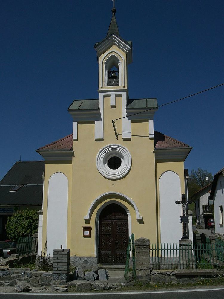
Hrejkovice is a village and municipality (obec) in Písek District in the South Bohemian Region of the Czech Republic.
Map of Hrejkovice, Czechia
The municipality covers an area of 13.39 square kilometres (5.17 sq mi), and has a population of 457 (2005).
Hrejkovice lies approximately 23 kilometres (14 mi) north-east of Písek, 57 km (35 mi) north of České Budějovice, and 69 km (43 mi) south of Prague.
References
Hrejkovice Wikipedia(Text) CC BY-SA