Elevation 238 m Local time Wednesday 10:10 PM | Municipality Šentjernej Area 114 ha Population 95 (2002) | |
 | ||
Weather 7°C, Wind E at 2 km/h, 70% Humidity | ||
Hrastje ([ˈxɾaːstjɛ]) is a small settlement in the foothills of the Gorjanci Hills in the Municipality of Šentjernej in southeastern Slovenia. The area was traditionally part of Lower Carniola. It is now included in the Southeast Slovenia Statistical Region.
Contents
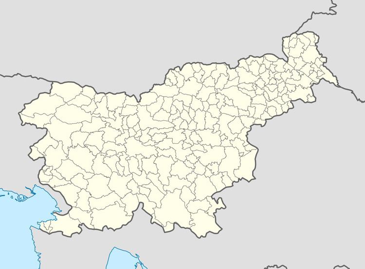
Map of 8310 Hrastje, Slovenia
Name
The name Hrastje is derived from the Slovene common noun hrast 'oak', referring to the local vegetation.
Castle
Gracar Turn is a 14th-century castle on the northern outskirts of the village.
References
Hrastje, Šentjernej Wikipedia(Text) CC BY-SA
