
Postal code 739 98 Elevation 594 m Local time Wednesday 11:03 PM | Established 1924 Website www.obechrcava.cz Area 2.87 km² Population 255 (2006) | |
 | ||
Weather -2°C, Wind NW at 10 km/h, 84% Humidity | ||
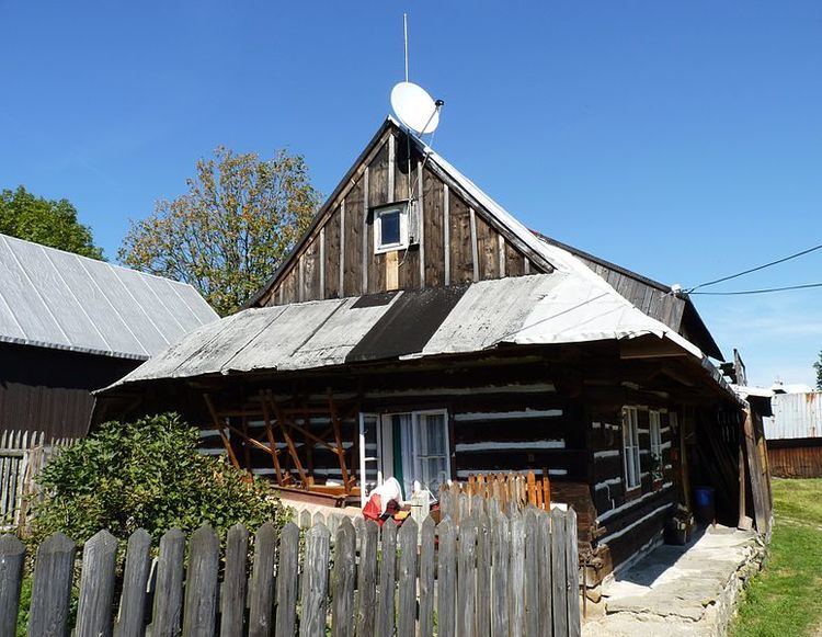
Hrčava (Polish: Herczawa , German: Hertschawa) is a village in Frýdek-Místek District, Moravian-Silesian Region, Czech Republic. It has 255 inhabitants (2006). It is the second easternmost village of the country (after neighboring Bukovec), lying near the borders with Poland and Slovakia. In 2001 census six people (2% of the inhabitants) declared Polish nationality and 96.7% declared Roman Catholic faith.
Map of Hr%C4%8Dava, Czechia
It is situated on the foothills of the Silesian Beskids mountain range, in the historical region of Cieszyn Silesia.
The settlement was first mentioned in 1778 as Hertiawa. It was initially a hamlet of Jaworzynka, which belonged then to the Duchy of Teschen, a fee of Kingdom of Bohemia and a part of the Habsburg Monarchy.
After World War I, fall of Austria-Hungary, Polish–Czechoslovak War and the division of Cieszyn Silesia in 1920, Jaworzynka became a part of Poland. Following protest of the citizens of the hamlet it was in 1924 separated from Jaworzynka and transferred to Czechoslovakia. Following the Munich Agreement, in October 1938 together with the Zaolzie region it was annexed by Poland, administratively adjoined to Cieszyn County of Silesian Voivodeship. It was then annexed by Nazi Germany at the beginning of World War II. After the war it was restored to Czechoslovakia.