
Easiest route N Ridge First ascent 1958 | Topo map NTS 93L/05 Elevation 2,759 m Prominence 1,829 m | |
 | ||
Listing North America isolated peaks 80thCanada highest major peaks 88thCanada prominent peaks 55thCanada most isolated peaks 24th People also search for Howson Range, Kispiox Range | ||
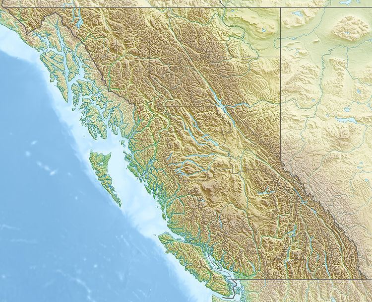
Howson Peak is a mountain in west central British Columbia, Canada, located 54 km (34 mi) southwest of Telkwa and southwest of the head of Telkwa River. This prominent mountain is the highest of the Howson Range. Howson Peak was first climbed in 1958 after an accident during a 1957 attempt in which Rex Gibson, then president of the Alpine Club of Canada, was killed. That route, as well as many other lines, remains unclimbed. The mountain is now in Tazdli Wiyez Bin or Burnie-Shea Provincial Park. Access is by air to Burnie Lake or on foot from the Kitnayakwa River road. The Burnie Glacier Chalet is the nearest accommodation.
Map of Howson Peak, Kitimat-Stikine C (Part 1), BC, Canada
References
Howson Peak Wikipedia(Text) CC BY-SA