
OS grid reference SE754269 Sovereign state United Kingdom Postcode district DN14 Local time Wednesday 6:38 PM | Post town GOOLE Dialling code 01430 | |
 | ||
Weather 12°C, Wind SW at 8 km/h, 66% Humidity | ||
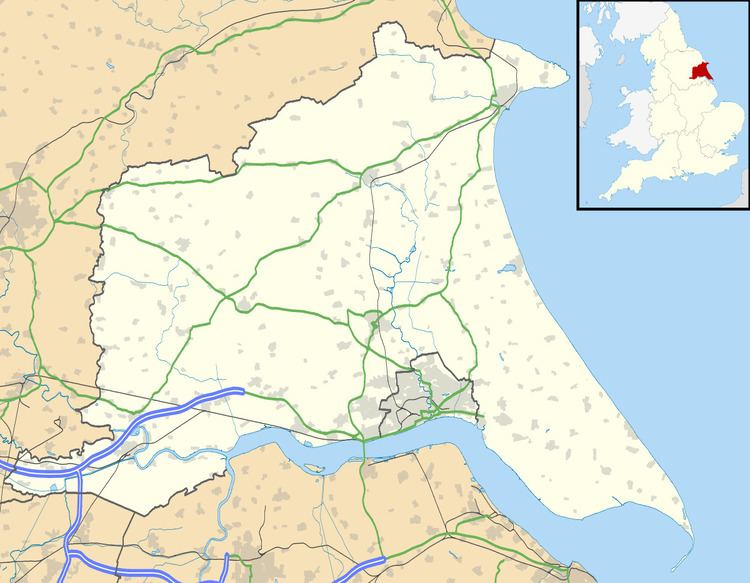
Howdendyke is a hamlet in the East Riding of Yorkshire, England. It is situated approximately 2 miles (3.2 km) north of Goole town centre and about 1 mile (1.6 km) south of Howden. It lies on the north bank of the River Ouse.
Map of Howden Dyke, Goole, UK
Howdendyke forms part of the civil parish of Kilpin.
References
Howdendyke Wikipedia(Text) CC BY-SA