
Country United States GNIS feature ID 0453420 Area 61.69 km² Population 341 (2010) | ZIP codes 47859, 47872, 47989 Elevation 229 m Local time Wednesday 2:14 PM | |
 | ||
Weather 2°C, Wind W at 18 km/h, 39% Humidity | ||
Howard Township is one of thirteen townships in Parke County, Indiana, United States. As of the 2010 census, its population was 341 and it contained 157 housing units. The township includes the western end of Shades State Park and the southeast quarter of Turkey Run State Park.
Contents
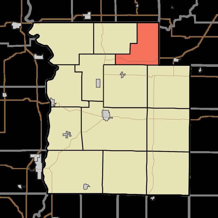
- Map of Howard Township IN USA
- History
- Geography
- Unincorporated towns
- Cemeteries
- Major highways
- School districts
- Political districts
- References
Map of Howard Township, IN, USA
History
Howard Township was established about 1855, and named for General Howard, an early settler.
Geography
According to the 2010 census, the township has a total area of 23.82 square miles (61.7 km2), of which 23.75 square miles (61.5 km2) (or 99.71%) is land and 0.07 square miles (0.18 km2) (or 0.29%) is water.
Unincorporated towns
(This list is based on USGS data and may include former settlements.)
Cemeteries
The township contains Lough Cemetery. Wolf creek cemetery
Major highways
School districts
Political districts
References
Howard Township, Parke County, Indiana Wikipedia(Text) CC BY-SA