Population Uninhabited | ||
 | ||
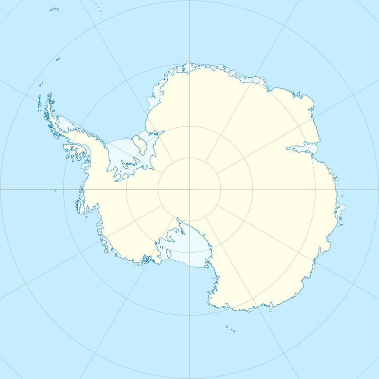
Hovde Island is a small, rounded, rocky island in Prydz Bay, lying at the extremity of the small glacier tongue from Hovde Glacier. It was mapped from air photograph by the Lars Christensen Expedition (1936) and named Hovden (the knoll). The recommended form and generic term takes into account the offshore nature of the feature.
References
Hovde Island Wikipedia(Text) CC BY-SA
