
Country United States FIPS code 29-33292 Elevation 257 m Local time Wednesday 9:07 AM Area code 816 | Time zone Central (CST) (UTC-6) GNIS feature ID 0719898 Zip code 64151 Population 242 (2013) | |
 | ||
Weather -5°C, Wind E at 11 km/h, 64% Humidity Area 36 ha (28 ha Land / 8 ha Water) | ||
Houston Lake is a city in Platte County, Missouri, United States. The population was 235 at the 2010 census.
Contents
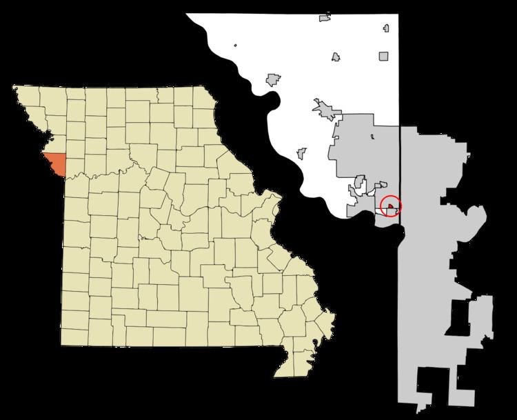
Map of Houston Lake, MO 64151, USA
Geography
Houston Lake is located at 39°11′30″N 94°37′25″W (39.191719, -94.623738).
According to the United States Census Bureau, the city has a total area of 0.14 square miles (0.36 km2), of which, 0.11 square miles (0.28 km2) is land and 0.03 square miles (0.08 km2) is water.
2010 census
As of the census of 2010, there were 235 people, 107 households, and 64 families residing in the city. The population density was 2,136.4 inhabitants per square mile (824.9/km2). There were 119 housing units at an average density of 1,081.8 per square mile (417.7/km2). The racial makeup of the city was 94.0% White, 0.4% African American, 3.0% from other races, and 2.6% from two or more races. Hispanic or Latino of any race were 4.7% of the population.
There were 107 households of which 22.4% had children under the age of 18 living with them, 43.0% were married couples living together, 13.1% had a female householder with no husband present, 3.7% had a male householder with no wife present, and 40.2% were non-families. 34.6% of all households were made up of individuals and 11.2% had someone living alone who was 65 years of age or older. The average household size was 2.20 and the average family size was 2.77.
The median age in the city was 51.4 years. 16.2% of residents were under the age of 18; 6% were between the ages of 18 and 24; 21.8% were from 25 to 44; 42% were from 45 to 64; and 14% were 65 years of age or older. The gender makeup of the city was 46.4% male and 53.6% female.
2000 census
As of the census of 2000, there were 284 people, 119 households, and 69 families residing in the city. The population density was 2,055.1 people per square mile (783.2/km²). There were 123 housing units at an average density of 890.1 per square mile (339.2/km²). The racial makeup of the city was 96.83% White, 0.70% African American, 0.35% Asian, and 2.11% from two or more races. Hispanic or Latino of any race were 3.52% of the population.
There were 119 households out of which 27.7% had children under the age of 18 living with them, 44.5% were married couples living together, 11.8% had a female householder with no husband present, and 41.2% were non-families. 32.8% of all households were made up of individuals and 8.4% had someone living alone who was 65 years of age or older. The average household size was 2.16 and the average family size was 2.69.
In the city the population was spread out with 18.7% under the age of 18, 4.2% from 18 to 24, 28.9% from 25 to 44, 35.9% from 45 to 64, and 12.3% who were 65 years of age or older. The median age was 44 years. For every 100 females there were 98.6 males. For every 100 females age 18 and over, there were 104.4 males.
The median income for a household in the city was $53,750, and the median income for a family was $61,875. Males had a median income of $48,750 versus $24,063 for females. The per capita income for the city was $24,471. About 1.5% of families and 4.0% of the population were below the poverty line, including 12.5% of those under the age of eighteen and none of those sixty five or over.