
Country India District Kolasib Vehicle registration MZ Local time Wednesday 5:01 AM | State Mizoram Time zone IST (UTC+5:30) Website mizoram.nic.in Population 5,000 (2001) | |
 | ||
Weather 15°C, Wind SE at 3 km/h, 79% Humidity | ||
Hortoki (Pron:/ˈlʊŋˌleɪ/) is a town, situated in the North-western part of Mizoram state, northeastern India on the bank of River Tlawng. The name Hortoki (Reraw in the native Mizo language), refers to the fruit of the reraw tree.
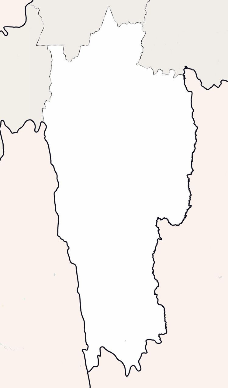
Map of Hortoki, Mizoram 796070
Hortoki is a large village located in N Thingdawl of Kolasib district, Mizoram with total 490 families residing. The Hortoki village has population of 2544 of which 1288 are males while 1256 are females as per Population Census 2011.
In Hortoki village population of children with age 0-6 is 435 which makes up 17.10 % of total population of village. Average Sex Ratio of Hortoki village is 975 which is lower than Mizoram state average of 976. Child Sex Ratio for the Hortoki as per census is 1033, higher than Mizoram average of 970.
Hortoki village has higher literacy rate compared to Mizoram. In 2011, literacy rate of Hortoki village was 98.44 % compared to 91.33 % of Mizoram. In Hortoki Male literacy stands at 98.51 % while female literacy rate was 98.36 %.
As per constitution of India and Panchyati Raaj Act, Hortoki village is administrated by Sarpanch (Head of Village) who is elected representative of village.