
Type reservoir Primary outflows Verde River Surface area 790 acres (320 ha) Surface elevation 671 m Mean depth 9.14 m Inflow source Verde River | Primary inflows Basin countries United States Average depth 30 ft (9.1 m) Area 3.197 km² Outflow location Verde River | |
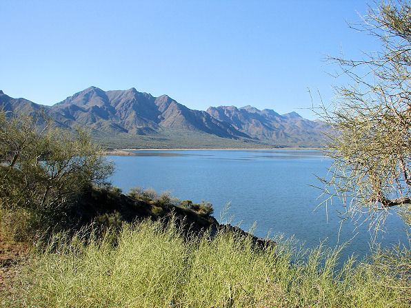 | ||
Horseshoe Lake is a reservoir that was formed by the Horseshoe Dam on the Verde River in the U.S. state of Arizona. This lake is located inside the Tonto National Forest, as such the facilities located here are managed by that authority. Located upstream and north of Bartlett Lake, Horseshoe Lake is the first of the Salt River Project lakes to be very low when irrigation and domestic water requirements dictate. As a result, it can be virtually dry for long periods of time causing the boat ramp to be entirely out of the water.
Contents
Map of Horseshoe Lake, Arizona, USA
To reach Horseshoe Lake, take Cave Creek road north out of Phoenix to Bartlett Dam road. About 10 miles before your reach Bartlett Lake take a left on Horseshoe Dam Rd. This road will be a washboard with a few pot holes and possibly a small stream to cross during the rainy seasons. This road will lead you right to the lake.