
 | ||
Similar Star Mine Suspension Bridge, Bleriot Ferry, Atlas Coal Mine, Royal Tyrrell Museum, World's Largest Dinosaur | ||
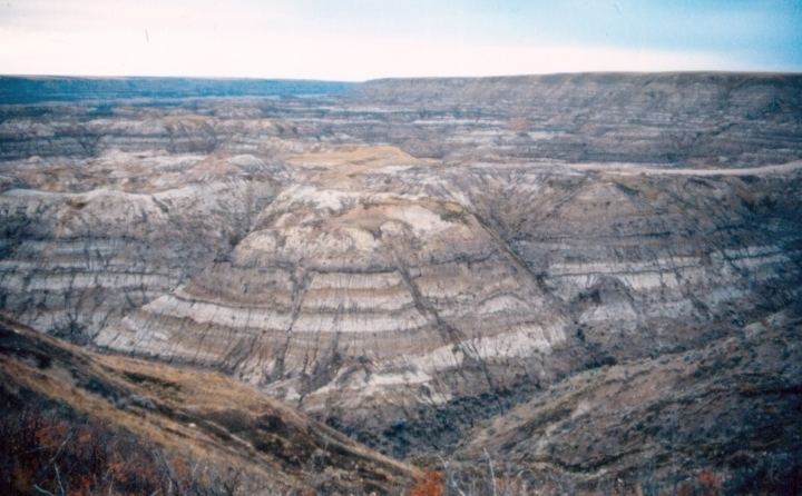
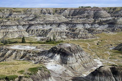
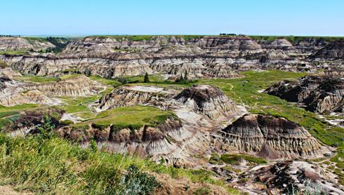
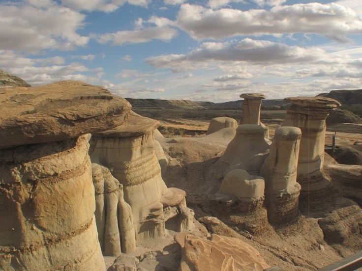
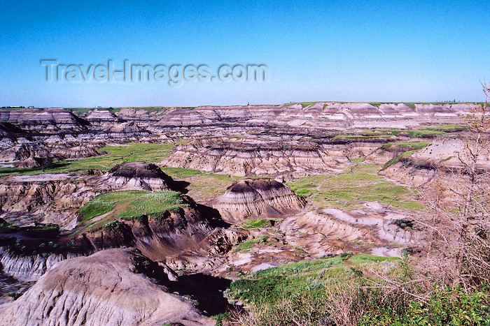
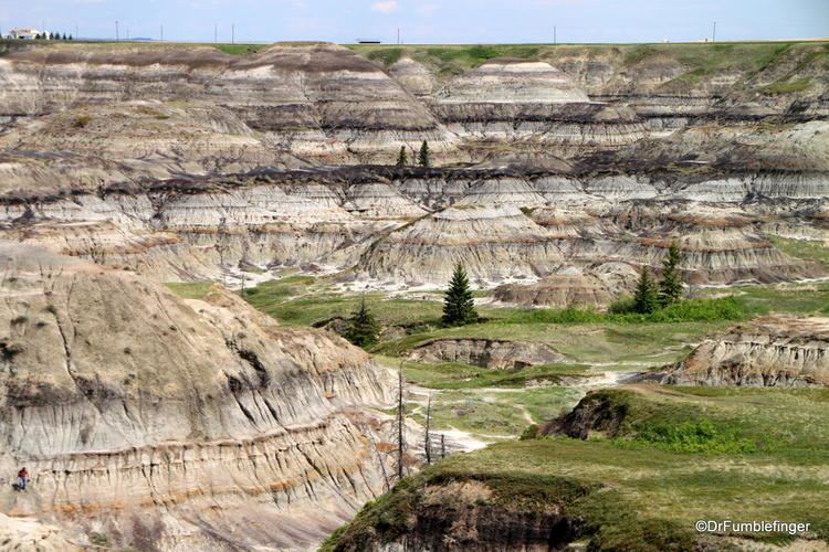
Horseshoe Canyon is a region of badlands surrounded by prairie in the province of Alberta, Canada. It is located about 17 km west of Drumheller, Alberta, along Highway 9.
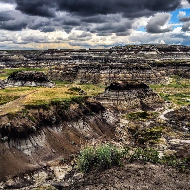
The canyon gets its name from its horseshoe shape, defined by two coulees the flow into the Kneehill Creek, a tributary of the Red Deer River. The canyon's two arms are approximately 5 km long each, extending from Highway 9 to Kneehill Creek, at two former mining communities of Dunphy and Gatine. In turn, it gives the name to the Horseshoe Canyon Formation.
References
Horseshoe Canyon (Alberta) Wikipedia(Text) CC BY-SA