
Time zone Eastern (EST) (UTC-5) GNIS feature ID 1802675 Local time Tuesday 5:55 PM | Area code(s) 540 Elevation 225 m | |
 | ||
Weather -1°C, Wind NW at 37 km/h, 62% Humidity | ||
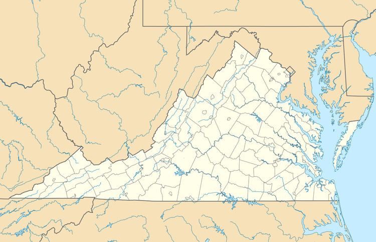
Horse Shoe Curve is an unincorporated community in Clarke County, Virginia, United States. The community is located on a horseshoe curve on Route 679 7 miles (11 km) east-southeast of Berryville and has had a tavern since the early 1900s.
Map of Horse Shoe Curve, Buckmarsh, VA 20135, USA
References
Horse Shoe Curve, Virginia Wikipedia(Text) CC BY-SA