Population 131 (2011 census) Mean min temp Annual rainfall Postal code 6535 | Postcode(s) 6535 Mean max temp Mean min temp Elevation 17 m Local time Wednesday 5:22 AM | |
 | ||
Location 499 km (310 mi) North of Perth20 km (12 mi) West of Northampton55 km (34 mi) North West of Geraldton Weather 18°C, Wind S at 18 km/h, 76% Humidity | ||
Horrocks also known as Horrocks Beach is a town in the Mid West region of Western Australia. It is located 499 kilometres (310 mi) north of the state capital, Perth and 22 kilometres (14 mi) west of Northampton, the closest major town.
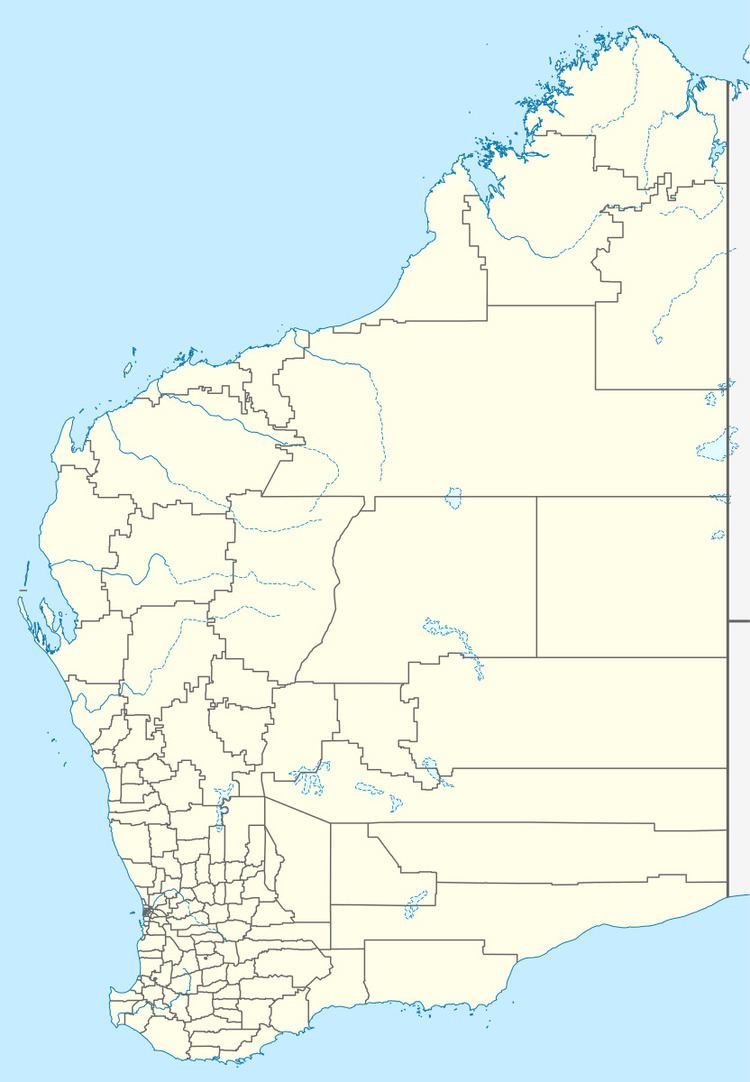
Map of Horrocks WA 6535, Australia
In the 2011 census Horrocks had a population of 131 people in 196 dwellings (52 occupied). Most of the dwellings are holiday houses. The population of Horrocks fluctuates depending on tourism, with the town at full capacity during school holidays and throughout the summer. During the census (Tuesday 9 August) 63% of dwellings were unoccupied (national average 11%).
The town was named after Joseph Lucas Horrocks, a convict who was transported to Western Australia in 1851 for forging and uttering. Horrocks received a conditional pardoned in 1856. He built a non-denominational and first church in Northampton.
