
OS grid reference SZ543853 Region South East Sovereign state United Kingdom Local time Tuesday 9:20 PM Ceremonial county Isle of Wight UK parliament constituency Isle of Wight | Unitary authority Country England Postcode district PO30 Dialling code 01983 Post town Newport | |
 | ||
Weather 12°C, Wind W at 11 km/h, 91% Humidity | ||
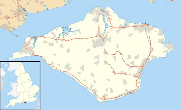
Horringford is a settlement on the Isle of Wight, off the south coast of England. According to the Post Office the population at the 2011 census was included in the civil parish of Arreton.
Map of Horringford, Newport, UK
The hamlet lies on the A3056 road, near to the larger settlement of Arreton. Horringford is approximately 3.5 miles (5.6 km) south-east of Newport. It contains the Horringford Manor.
References
Horringford Wikipedia(Text) CC BY-SA