OS grid reference SX271608 Civil parish Dobwalls and Trewidland | Region South West Sovereign state United Kingdom | |
 | ||
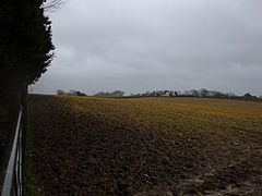
Horningtops is a hamlet south-southeast of Liskeard in east Cornwall, England in National Grid grid square SX2760.
Map of Horningtops, Liskeard, UK
References
Horningtops Wikipedia(Text) CC BY-SA
