
Elevation 824 m Local time Tuesday 9:46 PM | Postal code 384 91 Area 58.79 km² | |
 | ||
Weather 0°C, Wind W at 8 km/h, 74% Humidity Neighborhoods Žlíbky, Slatina, Polka, Račí Points of interest Boubín, Aussichtsturm im Urwald Boubín, Pod Ostrohem, Jilmová skála | ||
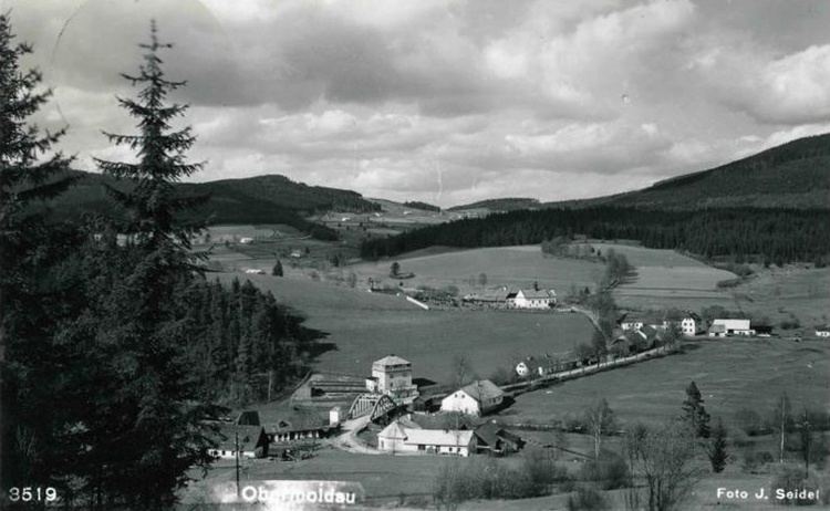
Horní Vltavice is a village and municipality (obec) in Prachatice District in the South Bohemian Region of the Czech Republic.
Map of Horn%C3%AD Vltavice, Czechia
The municipality covers an area of 58.79 square kilometres (22.70 sq mi), and has a population of 395 (as at 28 August 2006).
Horní Vltavice lies approximately 17 kilometres (11 mi) west of Prachatice, 50 km (31 mi) west of České Budějovice, and 133 km (83 mi) south of Prague.
References
Horní Vltavice Wikipedia(Text) CC BY-SA